Area Overview for DA3 8DS
Photos of DA3 8DS
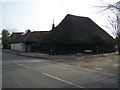
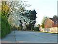
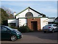
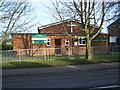
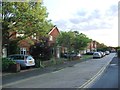
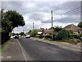
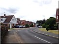
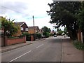
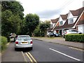
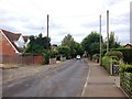
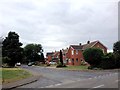
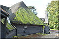
35 photos from this area
Area Information
Key information about the DA3 8DS including its size, population, and administrative classification.
- Area Type
- Postcode
- Area Size
- 2.3 hectares
- Population
- Not available
- Population Density
- Not available
House Prices in DA3 8DS
37
Properties
£407,238
Average Sold Price
£148,000
Lowest Price
£575,000
Highest Price
Showing 37 properties
| Address | Type | Beds | Baths | Last Sale Price | Last Sale Date | |
|---|---|---|---|---|---|---|
| 25 Cherry Trees, Hartley, DA3 8DS | house | 4 | 1 | £520,000 | Nov 2024 | |
| 67 Cherry Trees, Hartley, DA3 8DS | house | - | - | £522,500 | Mar 2023 | |
| 37 Cherry Trees, Hartley, DA3 8DS | Bungalow | - | - | £480,000 | Jul 2022 | |
| 23 Cherry Trees, Hartley, DA3 8DS | Detached | 4 | 1 | £575,000 | May 2022 | |
| 41 Cherry Trees, Hartley, DA3 8DS | Retail | 3 | 2 | £515,000 | Dec 2021 | |
| 43 Cherry Trees, Hartley, DA3 8DS | Bungalow | 2 | - | £460,000 | Dec 2020 | |
| 57 Cherry Trees, Hartley, DA3 8DS | Bungalow | - | - | £477,500 | Oct 2020 | |
| 14 Cherry Trees, Hartley, DA3 8DS | Detached | 3 | 1 | £510,000 | Aug 2019 | |
| 65 Cherry Trees, Hartley, DA3 8DS | Semi-detached | 3 | 1 | £362,500 | Mar 2019 | |
| 47 Cherry Trees, Hartley, DA3 8DS | Bungalow | - | - | £420,000 | Dec 2018 |
Page 1 of 4
Energy Efficiency in DA3 8DS
Amenities
Schools
| Rank | School | Type | Entry gender | Ages |
|---|
Explore more schools in this area
Go to Schools tabDemographics
Household Size
Two person
most common
Accommodation Type
Houses
most common
Tenure
95
majority
Ethnic Group
White
most common
Religion
N/A
most common
Household Composition
N/A
most common
Age
47
median
Adults (30-64 years)
most common
Household Deprivation
N/A
with no deprivation
NS-SEC
45
in Lower managerial occupations
Explore more demographic insights in this area
Go to Demographics tabPlanning
Planning Constraints
- Flood RiskPremium
- Ramsar Wetland SitesPremium
- Area of Outstanding Natural BeautyPremium
- Protected Nature ReservePremium
- Protected WoodlandPremium