Area Overview for DA3 7ES
Photos of DA3 7ES
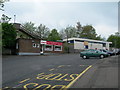
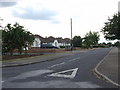
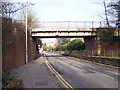
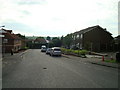
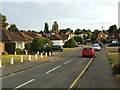
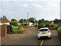
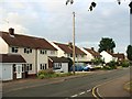
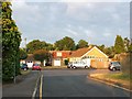
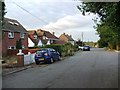
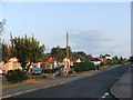
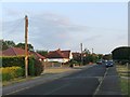

50 photos from this area
Area Information
Key information about the DA3 7ES including its size, population, and administrative classification.
- Area Type
- Postcode
- Area Size
- 1.2 hectares
- Population
- 1301
- Population Density
- 6403 people/km²
House Prices in DA3 7ES
41
Properties
£170,481
Average Sold Price
£53,000
Lowest Price
£375,000
Highest Price
Showing 41 properties
| Address | Type | Beds | Baths | Last Sale Price | Last Sale Date | |
|---|---|---|---|---|---|---|
| 25 Pitfield, Hartley, DA3 7ES | house | - | - | £375,000 | Aug 2025 | |
| 40 Pitfield, Hartley, DA3 7ES | Retail | 1 | 1 | £177,500 | Jun 2022 | |
| 32 Pitfield, Hartley, DA3 7ES | Retail | 1 | 1 | £195,500 | Jun 2022 | |
| 11 Pitfield, Hartley, DA3 7ES | house | - | - | £272,000 | Nov 2019 | |
| 9 Pitfield, Hartley, DA3 7ES | Terraced | 3 | 1 | £291,500 | Jul 2019 | |
| 30 Pitfield, Hartley, DA3 7ES | Maisonette | 1 | 1 | £152,000 | Dec 2017 | |
| 14 Pitfield, Hartley, DA3 7ES | house | - | - | £293,000 | Jul 2016 | |
| 17 Pitfield, Hartley, DA3 7ES | house | - | - | £190,000 | Nov 2014 | |
| 38 Pitfield, Hartley, DA3 7ES | Maisonette | - | - | £121,500 | Jan 2008 | |
| 22 Pitfield, Hartley, DA3 7ES | Terraced | - | - | £145,000 | Oct 2005 |
Page 1 of 5
Energy Efficiency in DA3 7ES
Amenities
Schools
| Rank | School | Type | Entry gender | Ages |
|---|
Explore more schools in this area
Go to Schools tabDemographics
Household Size
Family (3-5 people)
most common
Accommodation Type
Houses
most common
Tenure
52
majority
Ethnic Group
White
most common
Religion
N/A
most common
Household Composition
N/A
most common
Age
47
median
Adults (30-64 years)
most common
Household Deprivation
N/A
with no deprivation
NS-SEC
27
in Lower managerial occupations
Explore more demographic insights in this area
Go to Demographics tabPlanning
Planning Constraints
- Flood RiskPremium
- Ramsar Wetland SitesPremium
- Area of Outstanding Natural BeautyPremium
- Protected Nature ReservePremium
- Protected WoodlandPremium