Area Overview for DA2 6HT
Photos of DA2 6HT

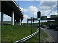
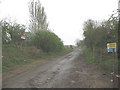
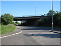
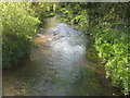
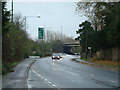
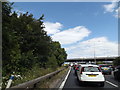
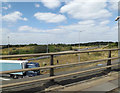
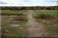
61 photos from this area
Area Information
Key information about the DA2 6HT including its size, population, and administrative classification.
- Area Type
- Postcode
- Area Size
- 3.2 hectares
- Population
- 1911
- Population Density
- 1364 people/km²
House Prices in DA2 6HT
18
Properties
£256,270
Average Sold Price
£81,500
Lowest Price
£370,000
Highest Price
Showing 18 properties
| Address | Type | Beds | Baths | Last Sale Price | Last Sale Date | |
|---|---|---|---|---|---|---|
| 122 Lunedale Road, Dartford, DA2 6HT | Terraced | 2 | 1 | £356,000 | Oct 2025 | |
| 148 Lunedale Road, Dartford, DA2 6HT | Semi-detached | 2 | 1 | £305,000 | Jul 2024 | |
| 126 Lunedale Road, Dartford, DA2 6HT | Terraced | 2 | 1 | £320,000 | Jul 2023 | |
| 132 Lunedale Road, Dartford, DA2 6HT | house | - | - | £370,000 | Nov 2022 | |
| 124 Lunedale Road, Dartford, DA2 6HT | Terraced | 2 | 1 | £290,000 | Mar 2021 | |
| 138 Lunedale Road, Dartford, DA2 6HT | house | - | - | £335,000 | May 2018 | |
| 130 Lunedale Road, Dartford, DA2 6HT | house | 3 | 1 | £251,200 | Sep 2017 | |
| 144 Lunedale Road, Dartford, DA2 6HT | house | - | - | £168,000 | Oct 2012 | |
| 146 Lunedale Road, Dartford, DA2 6HT | Semi-detached | - | - | £81,500 | May 2000 | |
| 140 Lunedale Road, Dartford, DA2 6HT | Semi-detached | - | - | £86,000 | Jul 1999 |
Page 1 of 2
Energy Efficiency in DA2 6HT
Amenities
Schools
| Rank | School | Type | Entry gender | Ages |
|---|
Explore more schools in this area
Go to Schools tabDemographics
Household Size
Family (3-5 people)
most common
Accommodation Type
Houses
most common
Tenure
66
majority
Ethnic Group
White
most common
Religion
N/A
most common
Household Composition
N/A
most common
Age
47
median
Adults (30-64 years)
most common
Household Deprivation
N/A
with no deprivation
NS-SEC
27
in Lower managerial occupations
Explore more demographic insights in this area
Go to Demographics tabPlanning
Planning Constraints
- Flood RiskPremium
- Ramsar Wetland SitesPremium
- Area of Outstanding Natural BeautyPremium
- Protected Nature ReservePremium
- Protected WoodlandPremium