Area Overview for DA2 6FG
Photos of DA2 6FG
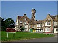
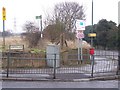
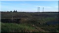
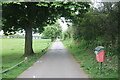
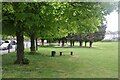
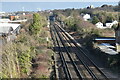
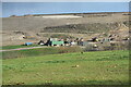

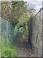
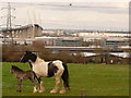
32 photos from this area
Area Information
Key information about the DA2 6FG including its size, population, and administrative classification.
- Area Type
- Postcode
- Area Size
- 1.3 hectares
- Population
- Not available
- Population Density
- Not available
House Prices in DA2 6FG
64
Properties
£273,599
Average Sold Price
£82,500
Lowest Price
£580,000
Highest Price
Showing 64 properties
| Address | Type | Beds | Baths | Last Sale Price | Last Sale Date | |
|---|---|---|---|---|---|---|
| 46 Chapel Drive, Dartford, DA2 6FG | Flat | 2 | 2 | £270,000 | Mar 2025 | |
| 106 Chapel Drive, Dartford, DA2 6FG | Flat | - | - | £82,500 | Aug 2024 | |
| 92 Chapel Drive, Dartford, DA2 6FG | Semi-detached | 4 | 2 | £580,000 | Aug 2023 | |
| 34 Chapel Drive, Dartford, DA2 6FG | Flat | - | - | £275,000 | Apr 2023 | |
| 30 Chapel Drive, Dartford, DA2 6FG | Semi-detached | 4 | 3 | £530,000 | Sep 2021 | |
| 60 Chapel Drive, Dartford, DA2 6FG | Flat | - | - | £225,000 | Sep 2021 | |
| 22 Chapel Drive, Dartford, DA2 6FG | Flat | - | - | £210,000 | Feb 2021 | |
| 84 Chapel Drive, Dartford, DA2 6FG | house | - | - | £525,000 | Nov 2020 | |
| 76 Chapel Drive, Dartford, DA2 6FG | house | - | - | £520,000 | Oct 2020 | |
| 86 Chapel Drive, Dartford, DA2 6FG | Terraced | 4 | 4 | £507,000 | Jul 2020 |
Page 1 of 7
Energy Efficiency in DA2 6FG
Amenities
Schools
| Rank | School | Type | Entry gender | Ages |
|---|
Explore more schools in this area
Go to Schools tabDemographics
Household Size
Family (3-5 people)
most common
Accommodation Type
Houses
most common
Tenure
63
majority
Ethnic Group
White
most common
Religion
N/A
most common
Household Composition
N/A
most common
Age
47
median
Adults (30-64 years)
most common
Household Deprivation
N/A
with no deprivation
NS-SEC
33
in Lower managerial occupations
Explore more demographic insights in this area
Go to Demographics tabPlanning
Planning Constraints
- Flood RiskPremium
- Ramsar Wetland SitesPremium
- Area of Outstanding Natural BeautyPremium
- Protected Nature ReservePremium
- Protected WoodlandPremium