Area Overview for DA2 6BQ
Photos of DA2 6BQ
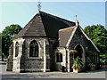
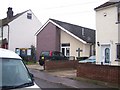
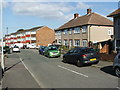
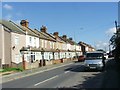
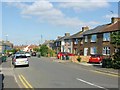
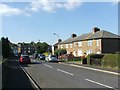
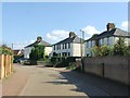
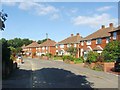
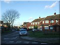
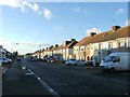
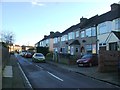
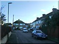
37 photos from this area
Area Information
Key information about the DA2 6BQ including its size, population, and administrative classification.
- Area Type
- Postcode
- Area Size
- 5477 m²
- Population
- Not available
- Population Density
- Not available
House Prices in DA2 6BQ
16
Properties
£316,665
Average Sold Price
£174,995
Lowest Price
£497,000
Highest Price
Showing 16 properties
| Address | Type | Beds | Baths | Last Sale Price | Last Sale Date | |
|---|---|---|---|---|---|---|
| 90 St Johns Road, Dartford, DA2 6BQ | house | - | - | £497,000 | Apr 2021 | |
| 72 St Johns Road, Dartford, DA2 6BQ | Semi-detached | 2 | 1 | £278,000 | Oct 2016 | |
| 70 St Johns Road, Dartford, DA2 6BQ | Semi-detached | - | - | £174,995 | Oct 2006 | |
| Site Of Former, 80 St Johns Road, Dartford, DA2 6BQ | Retirement | - | - | - | - | |
| 4, Becket Court, 80 St Johns Road, Dartford, DA2 6BQ | Flat | - | - | - | - | |
| 1, Becket Court, 80 St Johns Road, Dartford, DA2 6BQ | Flat | - | - | - | - | |
| 3, Becket Court, 80 St Johns Road, Dartford, DA2 6BQ | Flat | - | - | - | - | |
| 2, Becket Court, 80 St Johns Road, Dartford, DA2 6BQ | Flat | - | - | - | - | |
| 5, Becket Court, 80 St Johns Road, Dartford, DA2 6BQ | Flat | - | - | - | - | |
| 6, Becket Court, 80 St Johns Road, Dartford, DA2 6BQ | Flat | - | - | - | - |
Page 1 of 2
Energy Efficiency in DA2 6BQ
Amenities
Schools
| Rank | School | Type | Entry gender | Ages |
|---|
Explore more schools in this area
Go to Schools tabDemographics
Household Size
Family (3-5 people)
most common
Accommodation Type
Houses
most common
Tenure
63
majority
Ethnic Group
White
most common
Religion
N/A
most common
Household Composition
N/A
most common
Age
47
median
Adults (30-64 years)
most common
Household Deprivation
N/A
with no deprivation
NS-SEC
33
in Lower managerial occupations
Explore more demographic insights in this area
Go to Demographics tabPlanning
Planning Constraints
- Flood RiskPremium
- Ramsar Wetland SitesPremium
- Area of Outstanding Natural BeautyPremium
- Protected Nature ReservePremium
- Protected WoodlandPremium