Area Overview for DA2 6AX
Photos of DA2 6AX
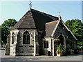
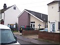
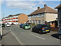
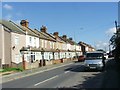
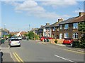
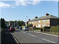
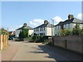
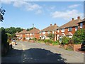
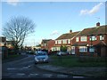
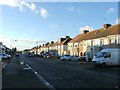
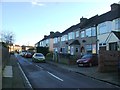
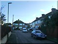
37 photos from this area
Area Information
Key information about the DA2 6AX including its size, population, and administrative classification.
- Area Type
- Postcode
- Area Size
- 3222 m²
- Population
- Not available
- Population Density
- Not available
House Prices in DA2 6AX
11
Properties
£187,000
Average Sold Price
£94,000
Lowest Price
£280,000
Highest Price
Showing 11 properties
| Address | Type | Beds | Baths | Last Sale Price | Last Sale Date | |
|---|---|---|---|---|---|---|
| 86 London Road, Stone, DA2 6AX | house | - | - | £280,000 | Aug 2022 | |
| 84A London Road, Stone, DA2 6AX | Maisonette | 3 | 2 | £94,000 | Nov 2002 | |
| 100 London Road, Stone, DA2 6AX | Terraced | 2 | 1 | - | - | |
| 104 London Road, Stone, DA2 6AX | Terraced | 2 | 2 | - | - | |
| 102 London Road, Stone, DA2 6AX | Terraced | 2 | 1 | - | - | |
| 92B London Road, Stone, DA2 6AX | Maisonette | 3 | 2 | - | - | |
| Flat Above, 94-98 London Road, Stone, DA2 6AX | Semi-detached | 1 | 1 | - | - | |
| 92A London Road, Stone, DA2 6AX | Flat | 2 | 1 | - | - | |
| Mobile Snack Bar, Jewsons Car Park, London Road, Stone, DA2 6AX | Restaurant | - | - | - | - | |
| 88 London Road, Stone, DA2 6AX | house | - | - | - | - |
Page 1 of 2
Energy Efficiency in DA2 6AX
Amenities
Schools
| Rank | School | Type | Entry gender | Ages |
|---|
Explore more schools in this area
Go to Schools tabDemographics
Household Size
Family (3-5 people)
most common
Accommodation Type
Houses
most common
Tenure
77
majority
Ethnic Group
White
most common
Religion
N/A
most common
Household Composition
N/A
most common
Age
47
median
Adults (30-64 years)
most common
Household Deprivation
N/A
with no deprivation
NS-SEC
32
in Lower managerial occupations
Explore more demographic insights in this area
Go to Demographics tabPlanning
Planning Constraints
- Flood RiskPremium
- Ramsar Wetland SitesPremium
- Area of Outstanding Natural BeautyPremium
- Protected Nature ReservePremium
- Protected WoodlandPremium