Area Overview for DA12 4UZ
Photos of DA12 4UZ
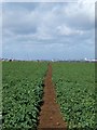
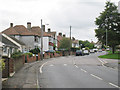
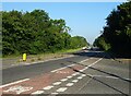
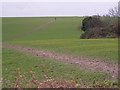
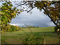
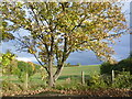
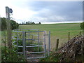
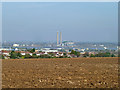
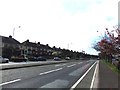
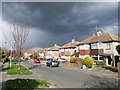
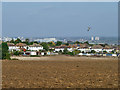
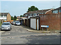
18 photos from this area
Area Information
Key information about the DA12 4UZ including its size, population, and administrative classification.
- Area Type
- Postcode
- Area Size
- 2.5 hectares
- Population
- 2208
- Population Density
- 624 people/km²
House Prices in DA12 4UZ
34
Properties
£237,225
Average Sold Price
£57,000
Lowest Price
£400,000
Highest Price
Showing 34 properties
| Address | Type | Beds | Baths | Last Sale Price | Last Sale Date | |
|---|---|---|---|---|---|---|
| 52 Chalk Road, Gravesend, DA12 4UZ | Semi-detached | 3 | 1 | £380,000 | Feb 2024 | |
| 62 Chalk Road, Gravesend, DA12 4UZ | Detached | - | - | £400,000 | Dec 2023 | |
| 74 Chalk Road, Gravesend, DA12 4UZ | house | - | - | £300,000 | Dec 2021 | |
| 94 Chalk Road, Gravesend, DA12 4UZ | house | 3 | 1 | £237,000 | Sep 2020 | |
| 102 Chalk Road, Gravesend, DA12 4UZ | house | 3 | - | £300,000 | Jul 2018 | |
| 80 Chalk Road, Gravesend, DA12 4UZ | Terraced | 4 | 2 | £318,000 | May 2018 | |
| 54 Chalk Road, Gravesend, DA12 4UZ | Semi-detached | 3 | - | £335,000 | Jul 2017 | |
| 106 Chalk Road, Gravesend, DA12 4UZ | house | - | - | £330,000 | Dec 2016 | |
| 112 Chalk Road, Gravesend, DA12 4UZ | Detached | 4 | - | £400,000 | Jan 2015 | |
| 60 Chalk Road, Gravesend, DA12 4UZ | Semi-detached | 3 | - | £225,000 | Nov 2013 |
Page 1 of 4
Energy Efficiency in DA12 4UZ
Amenities
Schools
| Rank | School | Type | Entry gender | Ages |
|---|
Explore more schools in this area
Go to Schools tabDemographics
Household Size
Two person
most common
Accommodation Type
Houses
most common
Tenure
81
majority
Ethnic Group
White
most common
Religion
N/A
most common
Household Composition
N/A
most common
Age
47
median
Adults (30-64 years)
most common
Household Deprivation
N/A
with no deprivation
NS-SEC
31
in Lower managerial occupations
Explore more demographic insights in this area
Go to Demographics tabPlanning
Planning Constraints
- Flood RiskPremium
- Ramsar Wetland SitesPremium
- Area of Outstanding Natural BeautyPremium
- Protected Nature ReservePremium
- Protected WoodlandPremium