Area Overview for DA12 4AZ
Photos of DA12 4AZ
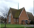
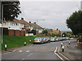
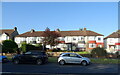
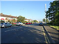
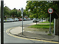
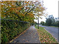
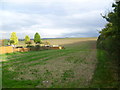
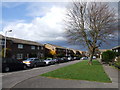
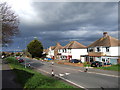
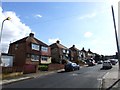
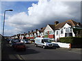
17 photos from this area
Area Information
Key information about the DA12 4AZ including its size, population, and administrative classification.
- Area Type
- Postcode
- Area Size
- 2.3 hectares
- Population
- Not available
- Population Density
- Not available
House Prices in DA12 4AZ
60
Properties
£248,521
Average Sold Price
£115,000
Lowest Price
£377,000
Highest Price
Showing 60 properties
| Address | Type | Beds | Baths | Last Sale Price | Last Sale Date | |
|---|---|---|---|---|---|---|
| 97 St Hildas Way, Gravesend, DA12 4AZ | Semi-detached | 3 | 1 | £360,000 | Dec 2024 | |
| 141 St Hildas Way, Gravesend, DA12 4AZ | house | 3 | 1 | £300,000 | Aug 2024 | |
| 95 St Hildas Way, Gravesend, DA12 4AZ | Semi-detached | 3 | 1 | £377,000 | Sep 2023 | |
| 81 St Hildas Way, Gravesend, DA12 4AZ | house | - | - | £275,000 | Nov 2021 | |
| 147 St Hildas Way, Gravesend, DA12 4AZ | Semi-detached | 3 | 1 | £303,000 | May 2021 | |
| 111 St Hildas Way, Gravesend, DA12 4AZ | Semi-detached | 3 | 1 | £280,000 | Dec 2020 | |
| 121 St Hildas Way, Gravesend, DA12 4AZ | Semi-detached | 3 | 1 | £253,500 | Jul 2019 | |
| 151 St Hildas Way, Gravesend, DA12 4AZ | Semi-detached | 3 | 1 | £260,000 | May 2019 | |
| 125 St Hildas Way, Gravesend, DA12 4AZ | Terraced | 3 | 1 | £265,000 | Feb 2019 | |
| 83 St Hildas Way, Gravesend, DA12 4AZ | Semi-detached | 3 | 1 | £292,000 | Nov 2018 |
Page 1 of 6
Energy Efficiency in DA12 4AZ
Amenities
Schools
| Rank | School | Type | Entry gender | Ages |
|---|
Explore more schools in this area
Go to Schools tabDemographics
Household Size
Family (3-5 people)
most common
Accommodation Type
Houses
most common
Tenure
60
majority
Ethnic Group
White
most common
Religion
N/A
most common
Household Composition
N/A
most common
Age
47
median
Adults (30-64 years)
most common
Household Deprivation
N/A
with no deprivation
NS-SEC
24
in Lower managerial occupations
Explore more demographic insights in this area
Go to Demographics tabPlanning
Planning Constraints
- Flood RiskPremium
- Ramsar Wetland SitesPremium
- Area of Outstanding Natural BeautyPremium
- Protected Nature ReservePremium
- Protected WoodlandPremium