Area Overview for DA12 2BZ
Photos of DA12 2BZ
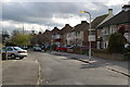
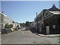
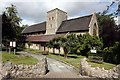
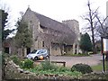
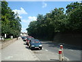
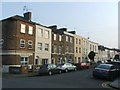
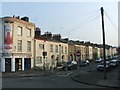
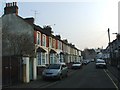
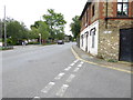
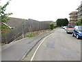
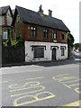
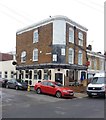
81 photos from this area
Area Information
Key information about the DA12 2BZ including its size, population, and administrative classification.
- Area Type
- Postcode
- Area Size
- 6717 m²
- Population
- Not available
- Population Density
- Not available
House Prices in DA12 2BZ
51
Properties
£124,450
Average Sold Price
£55,000
Lowest Price
£202,500
Highest Price
Showing 51 properties
| Address | Type | Beds | Baths | Last Sale Price | Last Sale Date | |
|---|---|---|---|---|---|---|
| 64 Park Place, Gravesend, DA12 2BZ | Maisonette | - | - | £156,000 | Mar 2023 | |
| 62 Park Place, Gravesend, DA12 2BZ | Flat | - | - | £105,000 | Jan 2023 | |
| 89 Park Place, Gravesend, DA12 2BZ | Maisonette | - | - | £202,500 | Dec 2021 | |
| 102 Park Place, Gravesend, DA12 2BZ | Flat | - | - | £187,000 | Aug 2020 | |
| 63 Park Place, Gravesend, DA12 2BZ | Flat | - | - | £85,000 | Mar 2017 | |
| 55 Park Place, Gravesend, DA12 2BZ | Maisonette | 3 | 1 | £150,000 | Jan 2016 | |
| 83 Park Place, Gravesend, DA12 2BZ | Flat | - | - | £101,000 | Sep 2014 | |
| 99 Park Place, Gravesend, DA12 2BZ | Maisonette | 3 | - | £115,000 | Jul 2014 | |
| 85 Park Place, Gravesend, DA12 2BZ | Maisonette | 3 | 1 | £88,000 | Feb 2010 | |
| 66 Park Place, Gravesend, DA12 2BZ | Flat | - | - | £55,000 | Mar 2001 |
Page 1 of 6
Energy Efficiency in DA12 2BZ
Amenities
Schools
| Rank | School | Type | Entry gender | Ages |
|---|
Explore more schools in this area
Go to Schools tabDemographics
Household Size
One person
most common
Accommodation Type
Flats
most common
Tenure
26
majority
Ethnic Group
White
most common
Religion
N/A
most common
Household Composition
N/A
most common
Age
47
median
Adults (30-64 years)
most common
Household Deprivation
N/A
with no deprivation
NS-SEC
20
in Lower managerial occupations
Explore more demographic insights in this area
Go to Demographics tabPlanning
Planning Constraints
- Flood RiskPremium
- Ramsar Wetland SitesPremium
- Area of Outstanding Natural BeautyPremium
- Protected Nature ReservePremium
- Protected WoodlandPremium