Area Overview for DA12 2BD
Photos of DA12 2BD

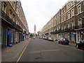
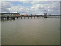

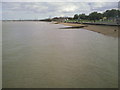
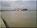
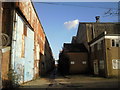
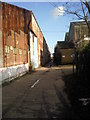
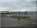
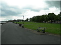
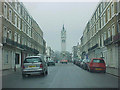
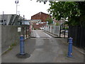
100 photos from this area
Area Information
Key information about the DA12 2BD including its size, population, and administrative classification.
- Area Type
- Postcode
- Area Size
- 7.3 hectares
- Population
- Not available
- Population Density
- Not available
House Prices in DA12 2BD
30
Properties
£303,084
Average Sold Price
£112,000
Lowest Price
£750,000
Highest Price
Showing 30 properties
| Address | Type | Beds | Baths | Last Sale Price | Last Sale Date | |
|---|---|---|---|---|---|---|
| 13 Royal Pier Road, Gravesend, DA12 2BD | Terraced | 3 | 2 | £465,000 | Apr 2024 | |
| 14 Royal Pier Road, Gravesend, DA12 2BD | Retail | 3 | - | £282,000 | Mar 2022 | |
| 11 Royal Pier Road, Gravesend, DA12 2BD | house | - | - | £415,000 | May 2021 | |
| 3 Royal Pier Road, Gravesend, DA12 2BD | Terraced | 3 | 1 | £315,000 | Sep 2020 | |
| Thames House, 29 Royal Pier Road, Gravesend, DA12 2BD | Detached | 4 | 4 | £750,000 | Aug 2019 | |
| 12 Royal Pier Road, Gravesend, DA12 2BD | house | - | - | £245,000 | Feb 2019 | |
| 1 Royal Pier Road, Gravesend, DA12 2BD | Terraced | 3 | 1 | £437,340 | Dec 2018 | |
| 10 Royal Pier Road, Gravesend, DA12 2BD | Terraced | 4 | 1 | £313,000 | Mar 2018 | |
| 2 Royal Pier Road, Gravesend, DA12 2BD | house | - | - | £240,000 | Jun 2013 | |
| 6 Royal Pier Road, Gravesend, DA12 2BD | house | - | - | £227,000 | Apr 2013 |
Page 1 of 3
Energy Efficiency in DA12 2BD
Amenities
Schools
| Rank | School | Type | Entry gender | Ages |
|---|
Explore more schools in this area
Go to Schools tabDemographics
Household Size
One person
most common
Accommodation Type
Flats
most common
Tenure
26
majority
Ethnic Group
White
most common
Religion
N/A
most common
Household Composition
N/A
most common
Age
47
median
Adults (30-64 years)
most common
Household Deprivation
N/A
with no deprivation
NS-SEC
20
in Lower managerial occupations
Explore more demographic insights in this area
Go to Demographics tabPlanning
Planning Constraints
- Flood RiskPremium
- Ramsar Wetland SitesPremium
- Area of Outstanding Natural BeautyPremium
- Protected Nature ReservePremium
- Protected WoodlandPremium