Area Overview for DA12 1NS
Photos of DA12 1NS
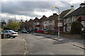
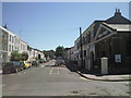
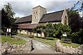
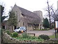
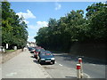
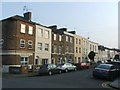
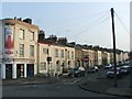
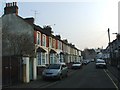
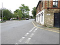
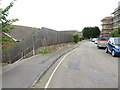
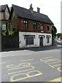
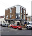
81 photos from this area
Area Information
Key information about the DA12 1NS including its size, population, and administrative classification.
- Area Type
- Postcode
- Area Size
- 1.7 hectares
- Population
- Not available
- Population Density
- Not available
House Prices in DA12 1NS
30
Properties
£305,405
Average Sold Price
£72,000
Lowest Price
£745,000
Highest Price
Showing 30 properties
| Address | Type | Beds | Baths | Last Sale Price | Last Sale Date | |
|---|---|---|---|---|---|---|
| 43 Park Avenue, Gravesend, DA12 1NS | Bungalow | 2 | 1 | £370,000 | May 2024 | |
| 15 Park Avenue, Gravesend, DA12 1NS | Terraced | 3 | 1 | £427,495 | Oct 2022 | |
| 9 Park Avenue, Gravesend, DA12 1NS | house | 3 | - | £447,000 | Nov 2021 | |
| 31 Park Avenue, Gravesend, DA12 1NS | house | - | - | £315,000 | Dec 2020 | |
| 11 Park Avenue, Gravesend, DA12 1NS | Semi-detached | 3 | 1 | £380,000 | Sep 2020 | |
| 37 Park Avenue, Gravesend, DA12 1NS | house | - | - | £325,000 | Jul 2020 | |
| 23 Park Avenue, Gravesend, DA12 1NS | Terraced | 3 | 1 | £310,000 | Feb 2020 | |
| 35 Park Avenue, Gravesend, DA12 1NS | Terraced | 3 | 1 | £287,500 | Jun 2017 | |
| 6 Park Avenue, Gravesend, DA12 1NS | Bungalow | 3 | 1 | £425,000 | Feb 2017 | |
| 27 Park Avenue, Gravesend, DA12 1NS | Terraced | 3 | - | £331,000 | Feb 2017 |
Page 1 of 3
Energy Efficiency in DA12 1NS
Amenities
Schools
| Rank | School | Type | Entry gender | Ages |
|---|
Explore more schools in this area
Go to Schools tabDemographics
Household Size
One person
most common
Accommodation Type
Houses
most common
Tenure
74
majority
Ethnic Group
White
most common
Religion
N/A
most common
Household Composition
N/A
most common
Age
47
median
Adults (30-64 years)
most common
Household Deprivation
N/A
with no deprivation
NS-SEC
39
in Lower managerial occupations
Explore more demographic insights in this area
Go to Demographics tabPlanning
Planning Constraints
- Flood RiskPremium
- Ramsar Wetland SitesPremium
- Area of Outstanding Natural BeautyPremium
- Protected Nature ReservePremium
- Protected WoodlandPremium