Area Overview for DA11 8BZ
Photos of DA11 8BZ
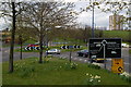
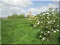
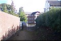

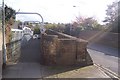
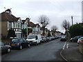
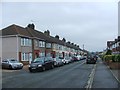
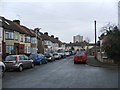
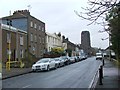
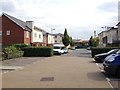
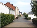
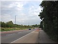
41 photos from this area
Area Information
Key information about the DA11 8BZ including its size, population, and administrative classification.
- Area Type
- Postcode
- Area Size
- 15.0 hectares
- Population
- 1449
- Population Density
- 3048 people/km²
House Prices in DA11 8BZ
29
Properties
£232,833
Average Sold Price
£87,995
Lowest Price
£365,000
Highest Price
Showing 29 properties
| Address | Type | Beds | Baths | Last Sale Price | Last Sale Date | |
|---|---|---|---|---|---|---|
| 16 Vale Road, Northfleet, Gravesend, DA11 8BZ | Semi-detached | 3 | 1 | £340,000 | Feb 2025 | |
| 12 Vale Road, Northfleet, Gravesend, DA11 8BZ | Semi-detached | 3 | 1 | £365,000 | Feb 2025 | |
| 6 Vale Road, Northfleet, Gravesend, DA11 8BZ | Semi-detached | 3 | 1 | £332,500 | Jul 2022 | |
| 36 Vale Road, Northfleet, Gravesend, DA11 8BZ | Bungalow | - | - | £260,000 | Feb 2015 | |
| 22 Vale Road, Northfleet, Gravesend, DA11 8BZ | Semi-detached | 4 | - | £228,000 | Jul 2014 | |
| 10 Vale Road, Northfleet, Gravesend, DA11 8BZ | Semi-detached | 4 | - | £170,500 | Jan 2008 | |
| 42 Vale Road, Northfleet, Gravesend, DA11 8BZ | house | - | - | £249,000 | Mar 2007 | |
| 32 Vale Road, Northfleet, Gravesend, DA11 8BZ | Semi-detached | - | - | £226,000 | Jul 2005 | |
| 46 Vale Road, Northfleet, Gravesend, DA11 8BZ | Semi-detached | - | - | £220,000 | Sep 2004 | |
| 28 Vale Road, Northfleet, Gravesend, DA11 8BZ | Semi-detached | - | - | £165,000 | Sep 2002 |
Page 1 of 3
Energy Efficiency in DA11 8BZ
Amenities
Schools
| Rank | School | Type | Entry gender | Ages |
|---|
Explore more schools in this area
Go to Schools tabDemographics
Household Size
Family (3-5 people)
most common
Accommodation Type
Houses
most common
Tenure
73
majority
Ethnic Group
White
most common
Religion
N/A
most common
Household Composition
N/A
most common
Age
47
median
Adults (30-64 years)
most common
Household Deprivation
N/A
with no deprivation
NS-SEC
24
in Lower managerial occupations
Explore more demographic insights in this area
Go to Demographics tabPlanning
Planning Constraints
- Flood RiskPremium
- Ramsar Wetland SitesPremium
- Area of Outstanding Natural BeautyPremium
- Protected Nature ReservePremium
- Protected WoodlandPremium