Area Overview for DA11 7NT
Photos of DA11 7NT
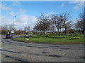
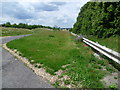
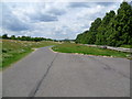


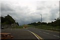
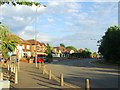
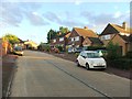
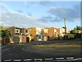
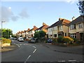
49 photos from this area
Area Information
Key information about the DA11 7NT including its size, population, and administrative classification.
- Area Type
- Postcode
- Area Size
- 13.1 hectares
- Population
- 1553
- Population Density
- 402 people/km²
House Prices in DA11 7NT
15
Properties
£360,669
Average Sold Price
£82,860
Lowest Price
£590,000
Highest Price
Showing 15 properties
| Address | Type | Beds | Baths | Last Sale Price | Last Sale Date | |
|---|---|---|---|---|---|---|
| Newport, Old Watling Street, Gravesend, DA11 7NT | Detached | 4 | 2 | £590,000 | Jan 2020 | |
| Longreach, Old Watling Street, Gravesend, DA11 7NT | house | - | - | £570,000 | Dec 2016 | |
| Highways, Old Watling Street, Gravesend, DA11 7NT | Detached | 5 | 3 | £555,000 | Mar 2016 | |
| Kateshga, Old Watling Street, Gravesend, DA11 7NT | Bungalow | 3 | - | £410,000 | Jan 2014 | |
| Casa Lila, Old Watling Street, Gravesend, DA11 7NT | house | - | - | £317,500 | Aug 2012 | |
| Rambler Cottage, Old Watling Street, Gravesend, DA11 7NT | house | - | - | £480,000 | Dec 2011 | |
| Southview, Old Watling Street, Gravesend, DA11 7NT | Detached | 4 | - | £82,860 | Mar 2011 | |
| Moorings, Old Watling Street, Gravesend, DA11 7NT | Detached | - | - | £390,000 | Oct 2009 | |
| Ranmorene, Old Watling Street, Gravesend, DA11 7NT | Detached | - | - | £285,000 | Mar 2003 | |
| Marglen, Old Watling Street, Gravesend, DA11 7NT | Detached | - | - | £193,000 | Nov 2002 |
Page 1 of 2
Energy Efficiency in DA11 7NT
Amenities
Schools
| Rank | School | Type | Entry gender | Ages |
|---|
Explore more schools in this area
Go to Schools tabDemographics
Household Size
Two person
most common
Accommodation Type
Houses
most common
Tenure
91
majority
Ethnic Group
White
most common
Religion
N/A
most common
Household Composition
N/A
most common
Age
47
median
Adults (30-64 years)
most common
Household Deprivation
N/A
with no deprivation
NS-SEC
34
in Lower managerial occupations
Explore more demographic insights in this area
Go to Demographics tabPlanning
Planning Constraints
- Flood RiskPremium
- Ramsar Wetland SitesPremium
- Area of Outstanding Natural BeautyPremium
- Protected Nature ReservePremium
- Protected WoodlandPremium