Area Overview for DA11 7AZ
Photos of DA11 7AZ
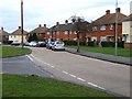
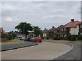
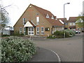
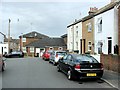
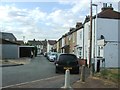
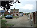
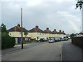
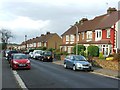
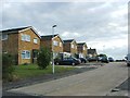
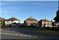
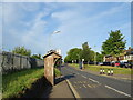
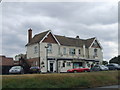
40 photos from this area
Area Information
Key information about the DA11 7AZ including its size, population, and administrative classification.
- Area Type
- Postcode
- Area Size
- 1.4 hectares
- Population
- Not available
- Population Density
- Not available
House Prices in DA11 7AZ
32
Properties
£260,048
Average Sold Price
£105,000
Lowest Price
£508,000
Highest Price
Showing 32 properties
| Address | Type | Beds | Baths | Last Sale Price | Last Sale Date | |
|---|---|---|---|---|---|---|
| 57 Milroy Avenue, Northfleet, Gravesend, DA11 7AZ | Terraced | 3 | 1 | £367,000 | Jan 2025 | |
| 37 Milroy Avenue, Northfleet, Gravesend, DA11 7AZ | Terraced | 3 | 2 | £405,000 | Sep 2024 | |
| 61 Milroy Avenue, Northfleet, Gravesend, DA11 7AZ | Semi-detached | 3 | 1 | £362,000 | Aug 2023 | |
| 13 Milroy Avenue, Northfleet, Gravesend, DA11 7AZ | Bungalow | 3 | 2 | £400,000 | May 2023 | |
| 1 Milroy Avenue, Northfleet, Gravesend, DA11 7AZ | house | 4 | - | £508,000 | May 2022 | |
| 31 Milroy Avenue, Northfleet, Gravesend, DA11 7AZ | house | - | - | £310,000 | Aug 2021 | |
| 35 Milroy Avenue, Northfleet, Gravesend, DA11 7AZ | Terraced | 3 | 1 | £280,000 | Sep 2019 | |
| 5 Milroy Avenue, Northfleet, Gravesend, DA11 7AZ | Bungalow | 2 | 1 | £317,000 | Apr 2018 | |
| 53 Milroy Avenue, Northfleet, Gravesend, DA11 7AZ | Terraced | 3 | 1 | £295,000 | Jul 2017 | |
| 41 Milroy Avenue, Northfleet, Gravesend, DA11 7AZ | Terraced | 3 | - | £320,000 | May 2017 |
Page 1 of 4
Energy Efficiency in DA11 7AZ
Amenities
Schools
| Rank | School | Type | Entry gender | Ages |
|---|
Explore more schools in this area
Go to Schools tabDemographics
Household Size
Family (3-5 people)
most common
Accommodation Type
Houses
most common
Tenure
41
majority
Ethnic Group
White
most common
Religion
N/A
most common
Household Composition
N/A
most common
Age
47
median
Adults (30-64 years)
most common
Household Deprivation
N/A
with no deprivation
NS-SEC
21
in Lower managerial occupations
Explore more demographic insights in this area
Go to Demographics tabPlanning
Planning Constraints
- Flood RiskPremium
- Ramsar Wetland SitesPremium
- Area of Outstanding Natural BeautyPremium
- Protected Nature ReservePremium
- Protected WoodlandPremium