Area Overview for DA10 1DT
Photos of DA10 1DT
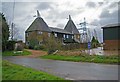

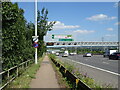
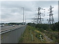
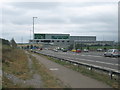
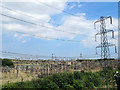

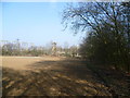
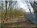
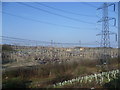

20 photos from this area
Area Information
Key information about the DA10 1DT including its size, population, and administrative classification.
- Area Type
- Postcode
- Area Size
- 7262 m²
- Population
- 1914
- Population Density
- 3947 people/km²
House Prices in DA10 1DT
28
Properties
£406,746
Average Sold Price
£358,995
Lowest Price
£525,000
Highest Price
Showing 28 properties
| Address | Type | Beds | Baths | Last Sale Price | Last Sale Date | |
|---|---|---|---|---|---|---|
| 8 Mason Avenue, Weldon, Ebbsfleet Valley, DA10 1DT | Terraced | 2 | 2 | £385,000 | Oct 2024 | |
| 2 Mason Avenue, Weldon, Ebbsfleet Valley, DA10 1DT | Terraced | 4 | 2 | £525,000 | Nov 2023 | |
| 42 Mason Avenue, Weldon, Ebbsfleet Valley, DA10 1DT | house | - | - | £425,000 | Jun 2021 | |
| 40 Mason Avenue, Weldon, Ebbsfleet Valley, DA10 1DT | house | - | - | £400,000 | Feb 2021 | |
| 6 Mason Avenue, Weldon, Ebbsfleet Valley, DA10 1DT | Terraced | 3 | 2 | £395,000 | Dec 2020 | |
| 56 Mason Avenue, Weldon, Ebbsfleet Valley, DA10 1DT | Semi-detached | 3 | 2 | £504,995 | Oct 2020 | |
| 54 Mason Avenue, Weldon, Ebbsfleet Valley, DA10 1DT | house | - | - | £430,000 | Jan 2020 | |
| 48 Mason Avenue, Weldon, Ebbsfleet Valley, DA10 1DT | Terraced | 2 | 2 | £358,995 | Nov 2019 | |
| 52 Mason Avenue, Weldon, Ebbsfleet Valley, DA10 1DT | house | - | - | £499,995 | Oct 2019 | |
| 46 Mason Avenue, Weldon, Ebbsfleet Valley, DA10 1DT | house | - | - | £384,995 | Oct 2019 |
Page 1 of 3
Energy Efficiency in DA10 1DT
Amenities
Schools
| Rank | School | Type | Entry gender | Ages |
|---|
Explore more schools in this area
Go to Schools tabDemographics
Household Size
Family (3-5 people)
most common
Accommodation Type
Houses
most common
Tenure
80
majority
Ethnic Group
White
most common
Religion
N/A
most common
Household Composition
N/A
most common
Age
47
median
Adults (30-64 years)
most common
Household Deprivation
N/A
with no deprivation
NS-SEC
54
in Lower managerial occupations
Explore more demographic insights in this area
Go to Demographics tabPlanning
Planning Constraints
- Flood RiskPremium
- Ramsar Wetland SitesPremium
- Area of Outstanding Natural BeautyPremium
- Protected Nature ReservePremium
- Protected WoodlandPremium