Area Overview for DA10 0NL
Photos of DA10 0NL
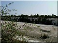
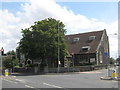
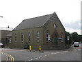
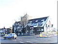
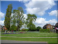
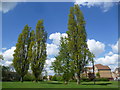
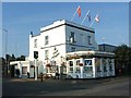
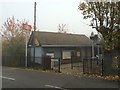
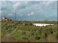
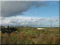
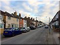
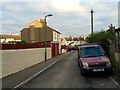
100 photos from this area
Area Information
Key information about the DA10 0NL including its size, population, and administrative classification.
- Area Type
- Postcode
- Area Size
- 9614 m²
- Population
- 1668
- Population Density
- 7208 people/km²
House Prices in DA10 0NL
20
Properties
£314,045
Average Sold Price
£164,950
Lowest Price
£551,000
Highest Price
Showing 20 properties
| Address | Type | Beds | Baths | Last Sale Price | Last Sale Date | |
|---|---|---|---|---|---|---|
| 39 Pentstemon Drive, Swanscombe, DA10 0NL | house | 4 | 2 | £510,000 | Mar 2025 | |
| 43 Pentstemon Drive, Swanscombe, DA10 0NL | Detached | 4 | 2 | £551,000 | Nov 2023 | |
| 51 Pentstemon Drive, Swanscombe, DA10 0NL | Detached | 3 | 2 | £500,000 | Apr 2023 | |
| 59 Pentstemon Drive, Swanscombe, DA10 0NL | Terraced | 3 | 2 | £435,000 | Oct 2022 | |
| 67 Pentstemon Drive, Swanscombe, DA10 0NL | house | 4 | 2 | £506,000 | Aug 2022 | |
| 71 Pentstemon Drive, Swanscombe, DA10 0NL | Semi-detached | 3 | 1 | £385,000 | Sep 2020 | |
| 55 Pentstemon Drive, Swanscombe, DA10 0NL | Detached | 3 | 2 | £385,000 | Aug 2016 | |
| 45 Pentstemon Drive, Swanscombe, DA10 0NL | Terraced | 4 | - | £277,000 | Mar 2014 | |
| 47 Pentstemon Drive, Swanscombe, DA10 0NL | house | 3 | - | £237,500 | Oct 2012 | |
| 37 Pentstemon Drive, Swanscombe, DA10 0NL | house | - | - | £245,000 | Sep 2012 |
Page 1 of 2
Energy Efficiency in DA10 0NL
Amenities
Schools
| Rank | School | Type | Entry gender | Ages |
|---|
Explore more schools in this area
Go to Schools tabDemographics
Household Size
Family (3-5 people)
most common
Accommodation Type
Houses
most common
Tenure
60
majority
Ethnic Group
White
most common
Religion
N/A
most common
Household Composition
N/A
most common
Age
47
median
Adults (30-64 years)
most common
Household Deprivation
N/A
with no deprivation
NS-SEC
26
in Lower managerial occupations
Explore more demographic insights in this area
Go to Demographics tabPlanning
Planning Constraints
- Flood RiskPremium
- Ramsar Wetland SitesPremium
- Area of Outstanding Natural BeautyPremium
- Protected Nature ReservePremium
- Protected WoodlandPremium