Area Overview for DA10 0BJ
Photos of DA10 0BJ
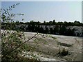
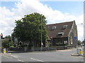
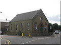
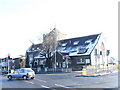
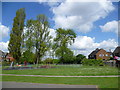
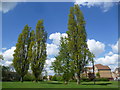
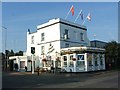
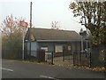
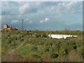
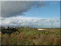
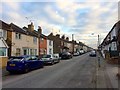
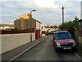
100 photos from this area
Area Information
Key information about the DA10 0BJ including its size, population, and administrative classification.
- Area Type
- Postcode
- Area Size
- 3975 m²
- Population
- 1851
- Population Density
- 5712 people/km²
House Prices in DA10 0BJ
36
Properties
£169,098
Average Sold Price
£40,000
Lowest Price
£258,000
Highest Price
Showing 36 properties
| Address | Type | Beds | Baths | Last Sale Price | Last Sale Date | |
|---|---|---|---|---|---|---|
| 73 Sun Road, Swanscombe, DA10 0BJ | Terraced | 2 | 1 | £235,000 | Jul 2024 | |
| 59 Sun Road, Swanscombe, DA10 0BJ | Terraced | 2 | 1 | £211,000 | Mar 2024 | |
| 31 Sun Road, Swanscombe, DA10 0BJ | house | 2 | 1 | £238,000 | Mar 2023 | |
| 26 Sun Road, Swanscombe, DA10 0BJ | Terraced | 2 | 1 | £240,000 | Mar 2023 | |
| 22 Sun Road, Swanscombe, DA10 0BJ | Terraced | 2 | 1 | £247,000 | Aug 2022 | |
| 21 Sun Road, Swanscombe, DA10 0BJ | house | 2 | 1 | £247,000 | Jun 2022 | |
| 71 Sun Road, Swanscombe, DA10 0BJ | Terraced | 2 | 1 | £250,000 | May 2022 | |
| 27 Sun Road, Swanscombe, DA10 0BJ | Terraced | 1 | 1 | £230,000 | Apr 2022 | |
| 67 Sun Road, Swanscombe, DA10 0BJ | house | - | - | £195,000 | Mar 2022 | |
| 37 Sun Road, Swanscombe, DA10 0BJ | house | 2 | 1 | £224,000 | Feb 2022 |
Page 1 of 4
Energy Efficiency in DA10 0BJ
Amenities
Schools
| Rank | School | Type | Entry gender | Ages |
|---|
Explore more schools in this area
Go to Schools tabDemographics
Household Size
Family (3-5 people)
most common
Accommodation Type
Houses
most common
Tenure
51
majority
Ethnic Group
White
most common
Religion
N/A
most common
Household Composition
N/A
most common
Age
47
median
Adults (30-64 years)
most common
Household Deprivation
N/A
with no deprivation
NS-SEC
22
in Lower managerial occupations
Explore more demographic insights in this area
Go to Demographics tabPlanning
Planning Constraints
- Flood RiskPremium
- Ramsar Wetland SitesPremium
- Area of Outstanding Natural BeautyPremium
- Protected Nature ReservePremium
- Protected WoodlandPremium