Area Overview for DA1 3JN
Photos of DA1 3JN
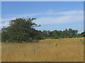
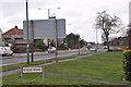

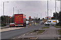
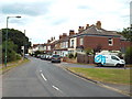
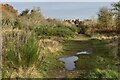

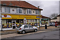
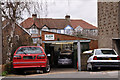
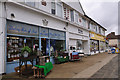
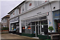
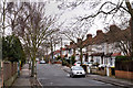
44 photos from this area
Area Information
Key information about the DA1 3JN including its size, population, and administrative classification.
- Area Type
- Postcode
- Area Size
- 1.6 hectares
- Population
- 1440
- Population Density
- 978 people/km²
House Prices in DA1 3JN
34
Properties
£359,193
Average Sold Price
£98,000
Lowest Price
£666,000
Highest Price
Showing 34 properties
| Address | Type | Beds | Baths | Last Sale Price | Last Sale Date | |
|---|---|---|---|---|---|---|
| 31 Knole Road, Dartford, DA1 3JN | Semi-detached | 3 | 2 | £620,000 | Jul 2025 | |
| 5 Knole Road, Dartford, DA1 3JN | Retail | 3 | 1 | £545,000 | Jul 2022 | |
| 61 Knole Road, Dartford, DA1 3JN | house | - | - | £666,000 | Jul 2022 | |
| 63 Knole Road, Dartford, DA1 3JN | house | - | - | £510,000 | Dec 2021 | |
| 53 Knole Road, Dartford, DA1 3JN | Detached | 3 | 1 | £430,000 | Sep 2021 | |
| 21 Knole Road, Dartford, DA1 3JN | house | 2 | 1 | £427,000 | Nov 2019 | |
| 1 Knole Road, Dartford, DA1 3JN | Semi-detached | 3 | 1 | £410,000 | Jan 2019 | |
| 11 Knole Road, Dartford, DA1 3JN | house | - | - | £550,000 | Dec 2018 | |
| 41 Knole Road, Dartford, DA1 3JN | house | - | - | £405,000 | Oct 2015 | |
| 59 Knole Road, Dartford, DA1 3JN | house | - | - | £346,500 | Apr 2014 |
Page 1 of 4
Energy Efficiency in DA1 3JN
Amenities
Schools
| Rank | School | Type | Entry gender | Ages |
|---|
Explore more schools in this area
Go to Schools tabDemographics
Household Size
Family (3-5 people)
most common
Accommodation Type
Houses
most common
Tenure
93
majority
Ethnic Group
White
most common
Religion
N/A
most common
Household Composition
N/A
most common
Age
47
median
Adults (30-64 years)
most common
Household Deprivation
N/A
with no deprivation
NS-SEC
42
in Lower managerial occupations
Explore more demographic insights in this area
Go to Demographics tabPlanning
Planning Constraints
- Flood RiskPremium
- Ramsar Wetland SitesPremium
- Area of Outstanding Natural BeautyPremium
- Protected Nature ReservePremium
- Protected WoodlandPremium