Area Overview for DA1 2SW
Photos of DA1 2SW
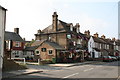
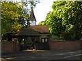
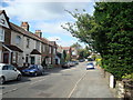

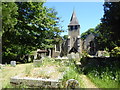
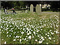
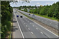
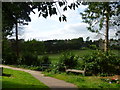
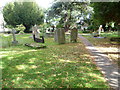

42 photos from this area
Area Information
Key information about the DA1 2SW including its size, population, and administrative classification.
- Area Type
- Postcode
- Area Size
- 3.5 hectares
- Population
- Not available
- Population Density
- Not available
House Prices in DA1 2SW
19
Properties
£347,500
Average Sold Price
£98,000
Lowest Price
£640,000
Highest Price
Showing 19 properties
| Address | Type | Beds | Baths | Last Sale Price | Last Sale Date | |
|---|---|---|---|---|---|---|
| 16 Oakfield Lane, Dartford, DA1 2SW | Semi-detached | 4 | 2 | £640,000 | Dec 2022 | |
| 18 Oakfield Lane, Dartford, DA1 2SW | house | - | - | £475,000 | Jun 2022 | |
| 22 Oakfield Lane, Dartford, DA1 2SW | Semi-detached | 3 | 1 | £500,000 | Feb 2022 | |
| 26 Oakfield Lane, Dartford, DA1 2SW | Detached | 3 | 1 | £475,000 | Oct 2017 | |
| 2 Oakfield Lane, Dartford, DA1 2SW | house | - | - | £395,000 | Jun 2017 | |
| 36 Oakfield Lane, Dartford, DA1 2SW | house | - | - | £349,000 | Aug 2013 | |
| 34 Oakfield Lane, Dartford, DA1 2SW | house | 4 | - | £340,000 | May 2012 | |
| 38 Oakfield Lane, Dartford, DA1 2SW | Semi-detached | 4 | 1 | £250,000 | Sep 2010 | |
| 30 Oakfield Lane, Dartford, DA1 2SW | Semi-detached | 4 | 1 | £300,000 | Mar 2010 | |
| 14 Oakfield Lane, Dartford, DA1 2SW | Maisonette | 2 | 1 | £249,995 | Aug 2007 |
Page 1 of 2
Energy Efficiency in DA1 2SW
Amenities
Schools
| Rank | School | Type | Entry gender | Ages |
|---|
Explore more schools in this area
Go to Schools tabDemographics
Household Size
Family (3-5 people)
most common
Accommodation Type
Houses
most common
Tenure
70
majority
Ethnic Group
White
most common
Religion
N/A
most common
Household Composition
N/A
most common
Age
47
median
Adults (30-64 years)
most common
Household Deprivation
N/A
with no deprivation
NS-SEC
30
in Lower managerial occupations
Explore more demographic insights in this area
Go to Demographics tabPlanning
Planning Constraints
- Flood RiskPremium
- Ramsar Wetland SitesPremium
- Area of Outstanding Natural BeautyPremium
- Protected Nature ReservePremium
- Protected WoodlandPremium