Area Overview for DA1 2SS
Photos of DA1 2SS
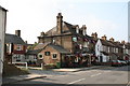
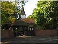
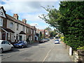
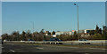
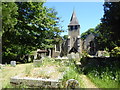
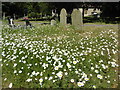
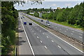
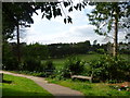
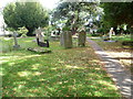
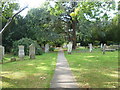
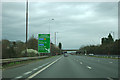
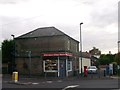
42 photos from this area
Area Information
Key information about the DA1 2SS including its size, population, and administrative classification.
- Area Type
- Postcode
- Area Size
- 1.3 hectares
- Population
- Not available
- Population Density
- Not available
House Prices in DA1 2SS
21
Properties
£295,846
Average Sold Price
£63,000
Lowest Price
£617,500
Highest Price
Showing 21 properties
| Address | Type | Beds | Baths | Last Sale Price | Last Sale Date | |
|---|---|---|---|---|---|---|
| 18 Carsington Gardens, Wilmington, DA1 2SS | Detached | 4 | 2 | £617,500 | Oct 2024 | |
| 7 Carsington Gardens, Wilmington, DA1 2SS | Semi-detached | 3 | 1 | £405,000 | Oct 2024 | |
| 16 Carsington Gardens, Wilmington, DA1 2SS | house | - | - | £530,000 | Aug 2021 | |
| 1 Carsington Gardens, Wilmington, DA1 2SS | house | 4 | - | £515,000 | Mar 2021 | |
| 15 Carsington Gardens, Wilmington, DA1 2SS | house | 4 | - | £435,000 | Dec 2019 | |
| 12 Carsington Gardens, Wilmington, DA1 2SS | house | - | - | £290,000 | Dec 2016 | |
| 23 Carsington Gardens, Wilmington, DA1 2SS | Terraced | 4 | 1 | £329,500 | Sep 2014 | |
| 9 Carsington Gardens, Wilmington, DA1 2SS | house | 3 | - | £240,000 | Jul 2011 | |
| 8 Carsington Gardens, Wilmington, DA1 2SS | Terraced | - | - | £152,000 | Jul 2003 | |
| 13 Carsington Gardens, Wilmington, DA1 2SS | Semi-detached | - | - | £110,000 | Aug 2001 |
Page 1 of 3
Energy Efficiency in DA1 2SS
Amenities
Schools
| Rank | School | Type | Entry gender | Ages |
|---|
Explore more schools in this area
Go to Schools tabDemographics
Household Size
Family (3-5 people)
most common
Accommodation Type
Houses
most common
Tenure
70
majority
Ethnic Group
White
most common
Religion
N/A
most common
Household Composition
N/A
most common
Age
47
median
Adults (30-64 years)
most common
Household Deprivation
N/A
with no deprivation
NS-SEC
30
in Lower managerial occupations
Explore more demographic insights in this area
Go to Demographics tabPlanning
Planning Constraints
- Flood RiskPremium
- Ramsar Wetland SitesPremium
- Area of Outstanding Natural BeautyPremium
- Protected Nature ReservePremium
- Protected WoodlandPremium