Area Overview for DA1 2NF
Photos of DA1 2NF
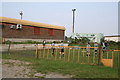
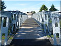
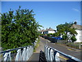
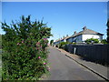
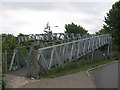
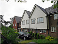
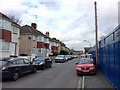
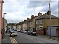
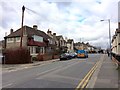
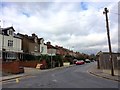
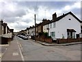
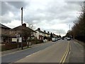
52 photos from this area
Area Information
Key information about the DA1 2NF including its size, population, and administrative classification.
- Area Type
- Postcode
- Area Size
- 1.7 hectares
- Population
- Not available
- Population Density
- Not available
House Prices in DA1 2NF
71
Properties
£314,703
Average Sold Price
£157,000
Lowest Price
£535,000
Highest Price
Showing 71 properties
| Address | Type | Beds | Baths | Last Sale Price | Last Sale Date | |
|---|---|---|---|---|---|---|
| 53 Baker Crescent, Dartford, DA1 2NF | Terraced | 3 | 2 | £403,000 | Dec 2025 | |
| 46 Baker Crescent, Dartford, DA1 2NF | house | - | - | £253,000 | Nov 2025 | |
| 5 Baker Crescent, Dartford, DA1 2NF | house | 3 | 1 | £535,000 | Aug 2025 | |
| 52 Baker Crescent, Dartford, DA1 2NF | Terraced | 3 | 3 | £395,000 | Feb 2025 | |
| 22 Baker Crescent, Dartford, DA1 2NF | Flat | - | - | £297,000 | Jul 2024 | |
| 54 Baker Crescent, Dartford, DA1 2NF | Terraced | 4 | 2 | £440,000 | May 2024 | |
| 55 Baker Crescent, Dartford, DA1 2NF | Terraced | 2 | 1 | £351,000 | Jan 2024 | |
| 20 Baker Crescent, Dartford, DA1 2NF | Terraced | 3 | 2 | £415,000 | Jul 2023 | |
| 44 Baker Crescent, Dartford, DA1 2NF | Retail | 3 | 2 | £450,000 | Aug 2022 | |
| 1 Baker Crescent, Dartford, DA1 2NF | Terraced | 3 | 2 | £495,000 | Jul 2022 |
Page 1 of 8
Energy Efficiency in DA1 2NF
Amenities
Schools
| Rank | School | Type | Entry gender | Ages |
|---|
Explore more schools in this area
Go to Schools tabDemographics
Household Size
Family (3-5 people)
most common
Accommodation Type
Houses
most common
Tenure
68
majority
Ethnic Group
White
most common
Religion
N/A
most common
Household Composition
N/A
most common
Age
47
median
Adults (30-64 years)
most common
Household Deprivation
N/A
with no deprivation
NS-SEC
36
in Lower managerial occupations
Explore more demographic insights in this area
Go to Demographics tabPlanning
Planning Constraints
- Flood RiskPremium
- Ramsar Wetland SitesPremium
- Area of Outstanding Natural BeautyPremium
- Protected Nature ReservePremium
- Protected WoodlandPremium