Area Overview for DA1 2LN
Photos of DA1 2LN
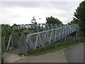
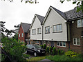
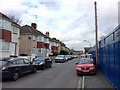
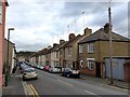
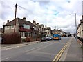
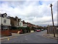
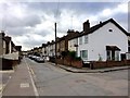
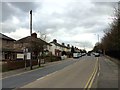
52 photos from this area
Area Information
Key information about the DA1 2LN including its size, population, and administrative classification.
- Area Type
- Postcode
- Area Size
- 5471 m²
- Population
- Not available
- Population Density
- Not available
House Prices in DA1 2LN
28
Properties
£191,714
Average Sold Price
£81,000
Lowest Price
£300,000
Highest Price
Showing 28 properties
| Address | Type | Beds | Baths | Last Sale Price | Last Sale Date | |
|---|---|---|---|---|---|---|
| 23A Spring Vale, Dartford, DA1 2LN | Terraced | 2 | 1 | £215,000 | Mar 2025 | |
| 7 Spring Vale, Dartford, DA1 2LN | house | - | - | £300,000 | Dec 2021 | |
| 23 Spring Vale, Dartford, DA1 2LN | Flat | 1 | 1 | £160,000 | Jun 2020 | |
| 33 Spring Vale, Dartford, DA1 2LN | Terraced | 2 | 1 | £278,000 | Mar 2020 | |
| 5 Spring Vale, Dartford, DA1 2LN | Terraced | 3 | 1 | £218,000 | Jul 2019 | |
| 11 Spring Vale, Dartford, DA1 2LN | Terraced | 2 | 1 | £232,000 | Apr 2017 | |
| 27 Spring Vale, Dartford, DA1 2LN | house | - | - | £292,000 | Apr 2017 | |
| 39 Spring Vale, Dartford, DA1 2LN | Semi-detached | 3 | 1 | £275,000 | Nov 2016 | |
| 9 Spring Vale, Dartford, DA1 2LN | Terraced | 2 | 1 | £175,000 | Dec 2013 | |
| 45 Spring Vale, Dartford, DA1 2LN | house | - | - | £141,000 | Apr 2005 |
Page 1 of 3
Energy Efficiency in DA1 2LN
Amenities
Schools
| Rank | School | Type | Entry gender | Ages |
|---|
Explore more schools in this area
Go to Schools tabDemographics
Household Size
One person
most common
Accommodation Type
Flats
most common
Tenure
39
majority
Ethnic Group
White
most common
Religion
N/A
most common
Household Composition
N/A
most common
Age
47
median
Adults (30-64 years)
most common
Household Deprivation
N/A
with no deprivation
NS-SEC
30
in Lower managerial occupations
Explore more demographic insights in this area
Go to Demographics tabPlanning
Planning Constraints
- Flood RiskPremium
- Ramsar Wetland SitesPremium
- Area of Outstanding Natural BeautyPremium
- Protected Nature ReservePremium
- Protected WoodlandPremium