Area Overview for DA1 1PG
Photos of DA1 1PG
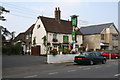
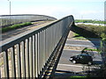
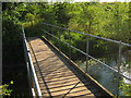
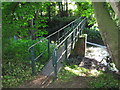

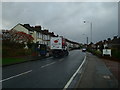
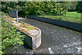
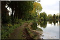
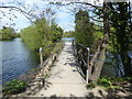
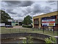
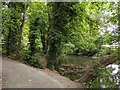
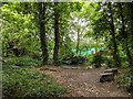
52 photos from this area
Area Information
Key information about the DA1 1PG including its size, population, and administrative classification.
- Area Type
- Postcode
- Area Size
- 3696 m²
- Population
- Not available
- Population Density
- Not available
House Prices in DA1 1PG
13
Properties
£306,681
Average Sold Price
£199,950
Lowest Price
£433,000
Highest Price
Showing 13 properties
| Address | Type | Beds | Baths | Last Sale Price | Last Sale Date | |
|---|---|---|---|---|---|---|
| 57 Hawley Road, Dartford, DA1 1PG | Semi-detached | 4 | 1 | £420,000 | Nov 2023 | |
| 71 Hawley Road, Dartford, DA1 1PG | house | 3 | - | £433,000 | Dec 2021 | |
| 69 Hawley Road, Dartford, DA1 1PG | Terraced | 4 | 2 | £375,000 | Feb 2019 | |
| 61 Hawley Road, Dartford, DA1 1PG | house | 4 | - | £292,500 | Feb 2015 | |
| 65 Hawley Road, Dartford, DA1 1PG | Semi-detached | - | - | £246,000 | Oct 2008 | |
| 73 Hawley Road, Dartford, DA1 1PG | house | - | - | £260,000 | Aug 2007 | |
| 67 Hawley Road, Dartford, DA1 1PG | house | - | - | £227,000 | Sep 2005 | |
| 59 Hawley Road, Dartford, DA1 1PG | house | 4 | 3 | £199,950 | Sep 2002 | |
| 77 Hawley Road, Dartford, DA1 1PG | Terraced | 4 | 2 | - | - | |
| 55 Hawley Road, Dartford, DA1 1PG | Semi-detached | 4 | 3 | - | - |
Page 1 of 2
Energy Efficiency in DA1 1PG
Amenities
Schools
| Rank | School | Type | Entry gender | Ages |
|---|
Explore more schools in this area
Go to Schools tabDemographics
Household Size
Family (3-5 people)
most common
Accommodation Type
Houses
most common
Tenure
58
majority
Ethnic Group
White
most common
Religion
N/A
most common
Household Composition
N/A
most common
Age
47
median
Adults (30-64 years)
most common
Household Deprivation
N/A
with no deprivation
NS-SEC
29
in Lower managerial occupations
Explore more demographic insights in this area
Go to Demographics tabPlanning
Planning Constraints
- Flood RiskPremium
- Ramsar Wetland SitesPremium
- Area of Outstanding Natural BeautyPremium
- Protected Nature ReservePremium
- Protected WoodlandPremium