Area Overview for CT4 8HN
Photos of CT4 8HN

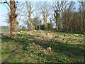
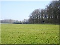
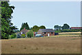
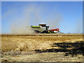
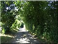
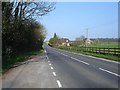
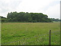
13 photos from this area
Area Information
Key information about the CT4 8HN including its size, population, and administrative classification.
- Area Type
- Postcode
- Area Size
- 14.6 hectares
- Population
- 1574
- Population Density
- 38 people/km²
House Prices in CT4 8HN
6
Properties
£500,000
Average Sold Price
£500,000
Lowest Price
£500,000
Highest Price
Showing 6 properties
| Address | Type | Beds | Baths | Last Sale Price | Last Sale Date | |
|---|---|---|---|---|---|---|
| Harbour Farm, Knockwood Lane, Molash, CT4 8HN | house | - | - | £500,000 | Oct 2017 | |
| Knockwood, Knockwood Lane, Molash, CT4 8HN | Detached | - | - | - | - | |
| Artisan Oak Ltd, Unit 1, Harbour Farm, Knockwood Lane, Molash, CT4 8HN | office_workshop | - | - | - | - | |
| Mobile Home At, Knockwood, Knockwood Lane, Molash, CT4 8HN | Mobile Home | - | - | - | - | |
| Unit 4F, Harbour Farm, Knockwood Lane, Molash, CT4 8HN | Office | - | - | - | - | |
| Units 3B And 3C, Maple Barn, Canterbury Road, Molash, CT4 8HN | Office | - | - | - | - |
Energy Efficiency in CT4 8HN
Amenities
Schools
| Rank | School | Type | Entry gender | Ages |
|---|
Explore more schools in this area
Go to Schools tabDemographics
Household Size
Two person
most common
Accommodation Type
Houses
most common
Tenure
79
majority
Ethnic Group
White
most common
Religion
N/A
most common
Household Composition
N/A
most common
Age
47
median
Adults (30-64 years)
most common
Household Deprivation
N/A
with no deprivation
NS-SEC
46
in Lower managerial occupations
Explore more demographic insights in this area
Go to Demographics tabPlanning
Planning Constraints
- Flood RiskPremium
- Ramsar Wetland SitesPremium
- Area of Outstanding Natural BeautyPremium
- Protected Nature ReservePremium
- Protected WoodlandPremium