Area Overview for CT14 0BF
Photos of CT14 0BF
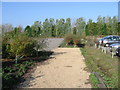
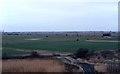
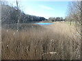
![Blue Lake, Betteshanger [Country] Park in CT14 0BF](https://images.propbar.co.uk/images/geograph/71/08/7108049_120.jpg)
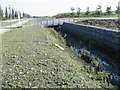
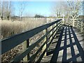
![Changing the landscape at Betteshanger [Country] Park in CT14 0BF](https://images.propbar.co.uk/images/geograph/71/08/7108051_120.jpg)
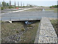
![Signage, Betteshanger [Country] Park in CT14 0BF](https://images.propbar.co.uk/images/geograph/71/08/7108054_120.jpg)
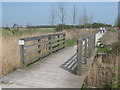
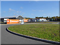
![Steps to the new visitor centre, Betteshanger [Country] Park in CT14 0BF](https://images.propbar.co.uk/images/geograph/71/08/7108055_120.jpg)
35 photos from this area
Area Information
Key information about the CT14 0BF including its size, population, and administrative classification.
- Area Type
- Postcode
- Area Size
- 1.8 km²
- Population
- 1746
- Population Density
- 245 people/km²
House Prices in CT14 0BF
No properties found in this postcode.
Energy Efficiency in CT14 0BF
Amenities
Schools
| Rank | School | Type | Entry gender | Ages |
|---|
Explore more schools in this area
Go to Schools tabDemographics
Household Size
Family (3-5 people)
most common
Accommodation Type
Houses
most common
Tenure
68
majority
Ethnic Group
White
most common
Religion
N/A
most common
Household Composition
N/A
most common
Age
47
median
Adults (30-64 years)
most common
Household Deprivation
N/A
with no deprivation
NS-SEC
36
in Lower managerial occupations
Explore more demographic insights in this area
Go to Demographics tabPlanning
Planning Constraints
- Flood RiskPremium
- Ramsar Wetland SitesPremium
- Area of Outstanding Natural BeautyPremium
- Protected Nature ReservePremium
- Protected WoodlandPremium
- Crime RiskPremium