Area Overview for Crockenhill
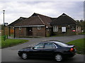
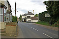
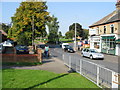
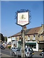
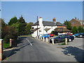
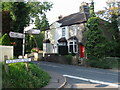
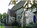
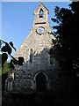
Photos of Crockenhill
Area Information
Crockenhill is a compact built-up area in England, spanning 48.8 hectares. Its character is shaped by a population with a median age of 70, suggesting a community skewed toward older residents. This demographic profile influences the area’s rhythm, with daily life likely centred on local amenities and quiet routines. The proximity to Swanley and surrounding towns offers practical connectivity, though Crockenhill itself remains a distinct, self-contained locale. Home ownership is high at 74%, indicating a stable, long-term resident base. While the area lacks sprawling landscapes, its proximity to rail stations and retail hubs provides a balance of convenience and simplicity. For those seeking a low-maintenance lifestyle with accessible services, Crockenhill’s blend of modest scale and functional infrastructure makes it a viable option. The presence of Crockenhill Primary School, rated good by Ofsted, adds to its appeal for families, though the area’s overall character leans more toward practicality than vibrancy.
- Area Type
- Built Up Area 250
- Area Size
- 48.8 hectares
- Population
- Not available
- Population Density
- Not available
Crockenhill’s lifestyle is defined by its proximity to essential amenities. The five nearby rail stations, including Swanley and St Mary Cray, facilitate easy travel to surrounding areas, while retail outlets like Aldi, Iceland, and Asda in Swanley cater to daily shopping needs. Though the data does not mention parks or leisure facilities, the availability of retail and transport options suggests a focus on practicality over leisure. Residents can access a range of services without significant travel, making the area suitable for those prioritising convenience over expansive recreational spaces. The lack of detailed information on cultural or leisure amenities means the full extent of the area’s character remains partially obscured.
Amenities
Schools
Crockenhill Primary School is the only educational institution explicitly listed in the data, serving the area’s younger residents. Rated good by Ofsted, it provides a foundation for local children’s education. The absence of secondary schools or other educational facilities within the area means families may need to look beyond Crockenhill for comprehensive schooling. This could be a consideration for parents prioritising a full range of educational options. While the primary school’s quality is assured, the lack of further schools highlights a potential limitation for families requiring multi-stage education within the same locale.
| Rank | A + A* % | School | Type | Entry gender | Ages |
|---|---|---|---|---|---|
| 1 | N/A | Crockenhill Primary School | primary | N/A | N/A |
Explore more schools in this area
Go to Schools tabDemographics
The population of Crockenhill has a median age of 70, with the most common age range encompassing all demographics. This suggests a community where older residents form a significant proportion, potentially influencing local services and social dynamics. Home ownership stands at 74%, reflecting a strong presence of long-term residents. However, the data does not specify household composition or accommodation types, limiting insight into family structures or housing diversity. The predominant ethnic group and religious composition are not detailed, meaning broader cultural or social characteristics remain unexplored. While deprivation data is absent, the high home ownership rate implies a degree of economic stability. For prospective buyers, this demographic profile may signal a quieter, less transient environment, though it also raises questions about the availability of amenities tailored to younger families or professionals.
Household Size
Accommodation Type
Tenure
Ethnic Group
Religion
Household Composition
Age
Household Deprivation
NS-SEC
Explore more demographic insights in this area
Go to Demographics tabPlanning
Planning Constraints
- Crime RiskLocked