Area Overview for Crawley (Crawley)
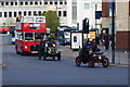
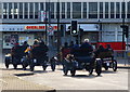
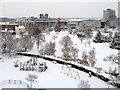
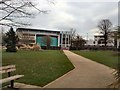
Photos of Crawley (Crawley)

Area Information
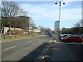
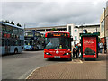
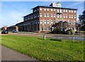
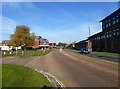
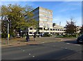
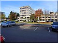
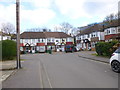
Crawley serves as a modern New Town in West Sussex, situated 28 miles south of London and 18 miles north of Brighton and Hove. Designated on 9 January 1947, the borough was established to accommodate London overspill with a planned layout featuring neighbourhoods, parks, and shopping areas. You are looking at a borough spanning 24.5 square kilometres, which currently supports a population of approximately 34,396 people according to local statistics, though wider estimates place the figure higher. The area balances urban growth with natural spaces, largely due to Gatwick Airport lying within the borough boundary to the north. This proximity shapes the district's identity as a major transport hub while influencing its character. Daily life revolves around the town centre, which contains the County Mall, a theatre, and various cultural venues. Tilgate Park anchors the western side, offering lakes, gardens, and woodland for recreation. The borough consists of 14 distinct residential neighbourhoods radiating from the original market town core. Nearby communities such as Ifield, Pound Hill, and Three Bridges were absorbed into the new town at different stages of its development. You will find the area surrounded by farmland and streams, providing a buffer against the urban sprawl. The location offers excellent national road and rail communications, linking you to wider national networks efficiently.
- Area Type
- District/Borough
- Area Size
- 24.5 km²
- Population
- 34396
- Population Density
- 1406 people/km²
Demographics
The community profile in Crawley reveals a population with a median age of 70 years, indicating a demographic skewed significantly towards older residents. This age distribution contrasts with many urban centres that attract younger families or workers. While the total population stands at roughly 34,396 within the measured district, the settlement has grown since its initial planning targets. Home ownership drives the area, with 58% of residents owning their homes outright or with a mortgage. This high level of tenure suggests a stable community where long-term residents hold a strong foothold in the local property market. Accommodation types vary within the 14 residential neighbourhoods, though specific breakdowns of terraced, semi-detached, or detached housing are not detailed in current records. The area absorbed former parishes like Ifield and Three Bridges, meaning housing stock dates from the original New Town plan as well as earlier rural periods. Income and employment data are not currently available to fully describe the economic diversity of the households. Crime risk assessments indicate a medium level of risk with a safety score of 60 out of 100, meaning standard security precautions remain advisable for residents. The borough continues to explore how to accommodate further growth, which may eventually impact the composition of households and neighbourhood densities.
Household Size
Accommodation Type
Tenure
Ethnic Group
Religion
Household Composition
Age
Household Deprivation
NS-SEC
Explore more demographic insights in this area
Go to Demographics tabPlanning
Planning Constraints
- Crime RiskPremium