Area Overview for CR6 9JD
Photos of CR6 9JD
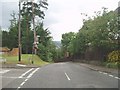
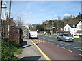
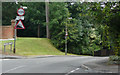
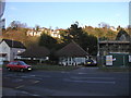
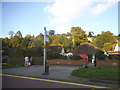
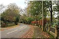
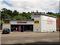
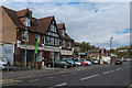
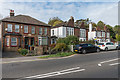
74 photos from this area
Area Information
Key information about the CR6 9JD including its size, population, and administrative classification.
- Area Type
- Postcode
- Area Size
- 6.4 hectares
- Population
- 2039
- Population Density
- 1780 people/km²
House Prices in CR6 9JD
62
Properties
£740,274
Average Sold Price
£410,000
Lowest Price
£1,500,000
Highest Price
Showing 62 properties
| Address | Type | Beds | Baths | Last Sale Price | Last Sale Date | |
|---|---|---|---|---|---|---|
| 10 Westview Road, Warlingham, CR6 9JD | house | - | - | £1,125,000 | Aug 2025 | |
| 9 Westview Road, Warlingham, CR6 9JD | Flat | 2 | 1 | £820,000 | Apr 2024 | |
| 19 Westview Road, Warlingham, CR6 9JD | Detached | 5 | 3 | £1,150,000 | Jul 2022 | |
| 30 Westview Road, Warlingham, CR6 9JD | house | 5 | 3 | £1,500,000 | Jun 2021 | |
| 12 Westview Road, Warlingham, CR6 9JD | Detached | 5 | 2 | £700,000 | Oct 2019 | |
| 28 Westview Road, Warlingham, CR6 9JD | Detached | 4 | 2 | £677,500 | Mar 2019 | |
| 8 Westview Road, Warlingham, CR6 9JD | house | - | - | £609,200 | Sep 2018 | |
| 18 Westview Road, Warlingham, CR6 9JD | Detached | 5 | 2 | £710,000 | Oct 2017 | |
| 27 Westview Road, Warlingham, CR6 9JD | Detached | 5 | 4 | £992,500 | Oct 2016 | |
| 29A Westview Road, Warlingham, CR6 9JD | house | - | - | £631,000 | Sep 2013 |
Page 1 of 7
Energy Efficiency in CR6 9JD
Amenities
Schools
| Rank | School | Type | Entry gender | Ages |
|---|
Explore more schools in this area
Go to Schools tabDemographics
Household Size
Two person
most common
Accommodation Type
Houses
most common
Tenure
90
majority
Ethnic Group
White
most common
Religion
N/A
most common
Household Composition
N/A
most common
Age
47
median
Adults (30-64 years)
most common
Household Deprivation
N/A
with no deprivation
NS-SEC
57
in Lower managerial occupations
Explore more demographic insights in this area
Go to Demographics tabPlanning
Planning Constraints
- Flood RiskPremium
- Ramsar Wetland SitesPremium
- Area of Outstanding Natural BeautyPremium
- Protected Nature ReservePremium
- Protected WoodlandPremium