Area Overview for CR5 3LA
Photos of CR5 3LA
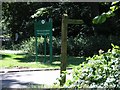

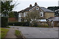
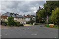
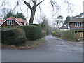
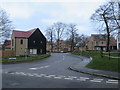
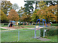

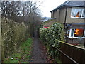
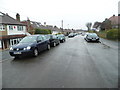
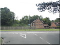
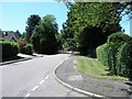
30 photos from this area
Area Information
Key information about the CR5 3LA including its size, population, and administrative classification.
- Area Type
- Postcode
- Area Size
- 2.0 hectares
- Population
- 1480
- Population Density
- 1365 people/km²
House Prices in CR5 3LA
14
Properties
£688,000
Average Sold Price
£212,000
Lowest Price
£970,000
Highest Price
Showing 14 properties
| Address | Type | Beds | Baths | Last Sale Price | Last Sale Date | |
|---|---|---|---|---|---|---|
| Holly Cottage, Rickman Hill Road, Chipstead, CR5 3LA | Detached | 4 | 3 | £970,000 | Oct 2024 | |
| Whitehaven, Rickman Hill Road, Chipstead, CR5 3LA | Detached | 3 | 1 | £930,000 | Apr 2021 | |
| Ilex, Rickman Hill Road, Chipstead, CR5 3LA | Detached | 5 | 5 | £955,000 | Jan 2021 | |
| White Lodge, Rickman Hill Road, Chipstead, CR5 3LA | Detached | 4 | 2 | £870,000 | Jul 2014 | |
| Torhaven, Rickman Hill Road, Chipstead, CR5 3LA | Bungalow | 4 | - | £750,000 | Jul 2014 | |
| Pine Trees, Rickman Hill Road, Chipstead, CR5 3LA | Detached | - | - | £535,000 | Nov 2006 | |
| Lissom Pines, Rickman Hill Road, Chipstead, CR5 3LA | Detached | - | - | £605,000 | Jul 2006 | |
| Malita, Rickman Hill Road, Chipstead, CR5 3LA | Detached | 4 | 3 | £365,000 | Apr 2003 | |
| Three Ways, Rickman Hill Road, Chipstead, CR5 3LA | Semi-detached | - | - | £212,000 | Nov 1997 | |
| Glenlyn, Rickman Hill Road, Chipstead, CR5 3LA | Detached | 4 | - | - | - |
Page 1 of 2
Energy Efficiency in CR5 3LA
Amenities
Schools
| Rank | School | Type | Entry gender | Ages |
|---|
Explore more schools in this area
Go to Schools tabDemographics
Household Size
Two person
most common
Accommodation Type
Houses
most common
Tenure
88
majority
Ethnic Group
White
most common
Religion
N/A
most common
Household Composition
N/A
most common
Age
47
median
Adults (30-64 years)
most common
Household Deprivation
N/A
with no deprivation
NS-SEC
49
in Lower managerial occupations
Explore more demographic insights in this area
Go to Demographics tabPlanning
Planning Constraints
- Flood RiskPremium
- Ramsar Wetland SitesPremium
- Area of Outstanding Natural BeautyPremium
- Protected Nature ReservePremium
- Protected WoodlandPremium