Area Overview for CR3 6AB
Photos of CR3 6AB
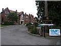
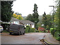
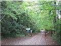
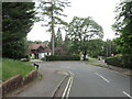
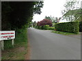
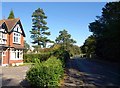
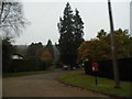
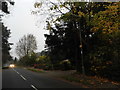

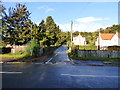
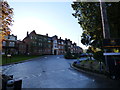

23 photos from this area
Area Information
Key information about the CR3 6AB including its size, population, and administrative classification.
- Area Type
- Postcode
- Area Size
- 2.3 hectares
- Population
- 1593
- Population Density
- 1699 people/km²
House Prices in CR3 6AB
55
Properties
£683,250
Average Sold Price
£550,000
Lowest Price
£1,150,000
Highest Price
Showing 55 properties
| Address | Type | Beds | Baths | Last Sale Price | Last Sale Date | |
|---|---|---|---|---|---|---|
| 80 Stanstead Road, Caterham, CR3 6AB | house | - | - | £1,150,000 | Mar 2022 | |
| 38 Stanstead Road, Caterham, CR3 6AB | house | - | - | £655,000 | Apr 2015 | |
| 36 Stanstead Road, Caterham, CR3 6AB | Maisonette | 2 | 1 | £569,500 | Aug 2014 | |
| 34 Stanstead Road, Caterham, CR3 6AB | house | 5 | - | £600,000 | Aug 2010 | |
| 92 Stanstead Road, Caterham, CR3 6AB | house | - | - | £575,000 | Apr 2010 | |
| 60 Stanstead Road, Caterham, CR3 6AB | Detached | - | - | £550,000 | Nov 2002 | |
| 2, Wavertree, 58 Stanstead Road, Caterham, CR3 6AB | Flat | 3 | 2 | - | - | |
| 40B Stanstead Road, Caterham, CR3 6AB | Terraced | 3 | 2 | - | - | |
| 2, Ashdown Place, 66 Stanstead Road, Caterham, CR3 6AB | Flat | 3 | 2 | - | - | |
| 1, Wavertree, 58 Stanstead Road, Caterham, CR3 6AB | Maisonette | 2 | 1 | - | - |
Page 1 of 6
Energy Efficiency in CR3 6AB
Amenities
Schools
| Rank | School | Type | Entry gender | Ages |
|---|
Explore more schools in this area
Go to Schools tabDemographics
Household Size
One person
most common
Accommodation Type
Houses
most common
Tenure
77
majority
Ethnic Group
White
most common
Religion
N/A
most common
Household Composition
N/A
most common
Age
47
median
Adults (30-64 years)
most common
Household Deprivation
N/A
with no deprivation
NS-SEC
48
in Lower managerial occupations
Explore more demographic insights in this area
Go to Demographics tabPlanning
Planning Constraints
- Flood RiskPremium
- Ramsar Wetland SitesPremium
- Area of Outstanding Natural BeautyPremium
- Protected Nature ReservePremium
- Protected WoodlandPremium