Area Overview for CR3 5TP
Photos of CR3 5TP
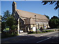
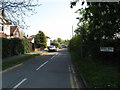
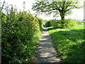
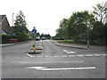
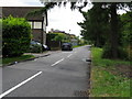
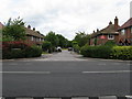
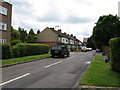
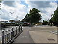
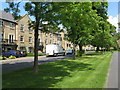
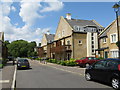
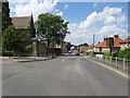
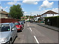
68 photos from this area
Area Information
Key information about the CR3 5TP including its size, population, and administrative classification.
- Area Type
- Postcode
- Area Size
- 9450 m²
- Population
- Not available
- Population Density
- Not available
House Prices in CR3 5TP
38
Properties
£201,643
Average Sold Price
£47,000
Lowest Price
£425,000
Highest Price
Showing 38 properties
| Address | Type | Beds | Baths | Last Sale Price | Last Sale Date | |
|---|---|---|---|---|---|---|
| 54B Westway, Caterham, CR3 5TP | Flat | 2 | 1 | £272,500 | Apr 2020 | |
| 30A Westway, Caterham, CR3 5TP | house | - | - | £425,000 | Apr 2020 | |
| 54A Westway, Caterham, CR3 5TP | Maisonette | 3 | 1 | £305,000 | May 2018 | |
| 56C Westway, Caterham, CR3 5TP | Flat | 1 | - | £107,000 | Dec 2013 | |
| 40B Westway, Caterham, CR3 5TP | house | - | - | £120,000 | Nov 2009 | |
| 42A Westway, Caterham, CR3 5TP | Maisonette | - | - | £135,000 | Jul 2007 | |
| 40A Westway, Caterham, CR3 5TP | Flat | - | - | £47,000 | Sep 1998 | |
| 32A Westway, Caterham, CR3 5TP | Flat | 2 | 1 | - | - | |
| Flat 3, 56 Westway, Caterham, CR3 5TP | Flat | 1 | 1 | - | - | |
| Flat 2, 56 Westway, Caterham, CR3 5TP | Flat | 1 | 1 | - | - |
Page 1 of 4
Energy Efficiency in CR3 5TP
Amenities
Schools
| Rank | School | Type | Entry gender | Ages |
|---|
Explore more schools in this area
Go to Schools tabDemographics
Household Size
Family (3-5 people)
most common
Accommodation Type
Houses
most common
Tenure
75
majority
Ethnic Group
White
most common
Religion
N/A
most common
Household Composition
N/A
most common
Age
47
median
Adults (30-64 years)
most common
Household Deprivation
N/A
with no deprivation
NS-SEC
38
in Lower managerial occupations
Explore more demographic insights in this area
Go to Demographics tabPlanning
Planning Constraints
- Flood RiskPremium
- Ramsar Wetland SitesPremium
- Area of Outstanding Natural BeautyPremium
- Protected Nature ReservePremium
- Protected WoodlandPremium