Area Overview for CR3 5LR
Photos of CR3 5LR
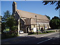
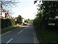
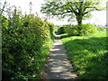
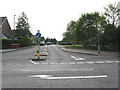
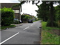
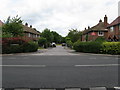
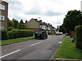
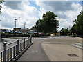
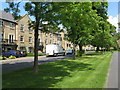
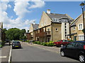
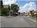
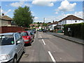
68 photos from this area
Area Information
Key information about the CR3 5LR including its size, population, and administrative classification.
- Area Type
- Postcode
- Area Size
- 1.1 hectares
- Population
- 1271
- Population Density
- 6904 people/km²
House Prices in CR3 5LR
36
Properties
£289,507
Average Sold Price
£68,950
Lowest Price
£623,500
Highest Price
Showing 36 properties
| Address | Type | Beds | Baths | Last Sale Price | Last Sale Date | |
|---|---|---|---|---|---|---|
| 6 Addison Road, Caterham, CR3 5LR | house | - | - | £425,000 | Mar 2025 | |
| 28 Addison Road, Caterham, CR3 5LR | Semi-detached | 3 | 2 | £410,000 | Jul 2024 | |
| 32 Addison Road, Caterham, CR3 5LR | Semi-detached | 3 | 2 | £623,500 | Oct 2023 | |
| 62 Addison Road, Caterham, CR3 5LR | Semi-detached | 3 | 1 | £467,500 | Jun 2023 | |
| 48 Addison Road, Caterham, CR3 5LR | house | - | - | £381,500 | Sep 2020 | |
| 82A Addison Road, Caterham, CR3 5LR | Semi-detached | 2 | 1 | £375,000 | Apr 2020 | |
| 76 Addison Road, Caterham, CR3 5LR | Maisonette | 3 | 1 | £255,000 | Dec 2019 | |
| 44 Addison Road, Caterham, CR3 5LR | house | - | - | £358,700 | May 2018 | |
| 82 Addison Road, Caterham, CR3 5LR | Detached | 2 | 1 | £375,000 | Mar 2018 | |
| 42 Addison Road, Caterham, CR3 5LR | house | 3 | - | £353,600 | Dec 2016 |
Page 1 of 4
Energy Efficiency in CR3 5LR
Amenities
Schools
| Rank | School | Type | Entry gender | Ages |
|---|
Explore more schools in this area
Go to Schools tabDemographics
Household Size
Family (3-5 people)
most common
Accommodation Type
Houses
most common
Tenure
78
majority
Ethnic Group
White
most common
Religion
N/A
most common
Household Composition
N/A
most common
Age
47
median
Adults (30-64 years)
most common
Household Deprivation
N/A
with no deprivation
NS-SEC
36
in Lower managerial occupations
Explore more demographic insights in this area
Go to Demographics tabPlanning
Planning Constraints
- Flood RiskPremium
- Ramsar Wetland SitesPremium
- Area of Outstanding Natural BeautyPremium
- Protected Nature ReservePremium
- Protected WoodlandPremium