Area Overview for CR3 5LE
Photos of CR3 5LE
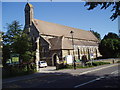
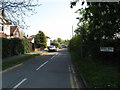
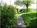
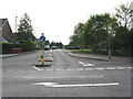
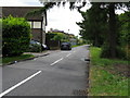
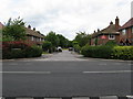
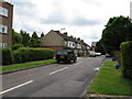
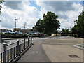
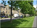
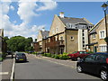
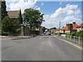
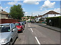
68 photos from this area
Area Information
Key information about the CR3 5LE including its size, population, and administrative classification.
- Area Type
- Postcode
- Area Size
- 8045 m²
- Population
- Not available
- Population Density
- Not available
House Prices in CR3 5LE
30
Properties
£252,274
Average Sold Price
£49,500
Lowest Price
£555,000
Highest Price
Showing 30 properties
| Address | Type | Beds | Baths | Last Sale Price | Last Sale Date | |
|---|---|---|---|---|---|---|
| 29 Spencer Road, Caterham, CR3 5LE | Terraced | 4 | 2 | £525,000 | Sep 2025 | |
| 19 Spencer Road, Caterham, CR3 5LE | Maisonette | 2 | 1 | £246,000 | Jun 2024 | |
| 5 Spencer Road, Caterham, CR3 5LE | Maisonette | 2 | 1 | £299,000 | Nov 2023 | |
| 59 Spencer Road, Caterham, CR3 5LE | Terraced | 4 | 1 | £555,000 | Jan 2023 | |
| 39 Spencer Road, Caterham, CR3 5LE | Maisonette | 2 | 1 | £265,000 | Feb 2020 | |
| 43 Spencer Road, Caterham, CR3 5LE | Maisonette | 2 | 1 | £275,000 | Nov 2019 | |
| 35 Spencer Road, Caterham, CR3 5LE | house | - | - | £465,000 | Nov 2017 | |
| 11 Spencer Road, Caterham, CR3 5LE | Maisonette | 2 | 1 | £265,000 | Aug 2017 | |
| 53 Spencer Road, Caterham, CR3 5LE | house | 3 | - | £389,050 | Jun 2016 | |
| 7 Spencer Road, Caterham, CR3 5LE | Maisonette | 2 | 1 | £240,000 | Aug 2015 |
Page 1 of 3
Energy Efficiency in CR3 5LE
Amenities
Schools
| Rank | School | Type | Entry gender | Ages |
|---|
Explore more schools in this area
Go to Schools tabDemographics
Household Size
Family (3-5 people)
most common
Accommodation Type
Houses
most common
Tenure
83
majority
Ethnic Group
White
most common
Religion
N/A
most common
Household Composition
N/A
most common
Age
47
median
Adults (30-64 years)
most common
Household Deprivation
N/A
with no deprivation
NS-SEC
40
in Lower managerial occupations
Explore more demographic insights in this area
Go to Demographics tabPlanning
Planning Constraints
- Flood RiskPremium
- Ramsar Wetland SitesPremium
- Area of Outstanding Natural BeautyPremium
- Protected Nature ReservePremium
- Protected WoodlandPremium