Area Overview for Cokeham Ward
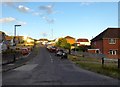
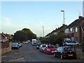
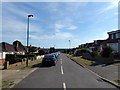
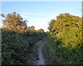
Photos of Cokeham Ward
Area Information
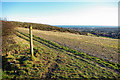
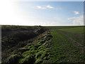
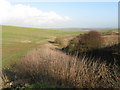
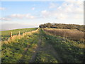
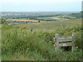
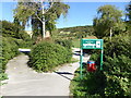
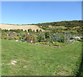
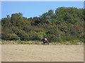
Living in Cokeham Ward offers a specific type of residential experience within the Adur District of West Sussex. This electoral ward covers a small landmass of 2.7 square kilometres, yet it functions as part of the larger East Worthing & Shoreham parliamentary constituency. The location sits approximately 47 miles south of central London and 8.5 miles west of Brighton, positioning it within the South East England region. You will find specific streets such as Cokeham Gardens in the Sompting area operating within the BN15 9TB postcode sector. The ward connects to the wider network of Adur wards that define the constituency boundaries. Daily life here is defined by this precise geographical context, offering a settled community atmosphere typical of the area. Prospective buyers looking for homes in Cokeham Ward should understand that the area operates firmly within the established administrative framework of West Sussex. The ward status ensures representation within the local governance structure while maintaining its specific postal and geographical identity. This compact size suggests a close-knit locality where the boundaries are well defined.
- Area Type
- District Borough Unitary Ward
- Area Size
- 2.7 km²
- Population
- Not available
- Population Density
- Not available
Demographics
The community profile of Cokeham Ward reveals an area with a distinctly mature population. The median age of residents stands at 70 years, indicating that the neighbourhood caters primarily to an older demographic. This age statistic shapes the overall character of the streets and local services. Most reported age data simply records the total population without further segmentation in the immediate figures provided. This concentration of older residents is reflected clearly in the high level of home ownership, with 79 per cent of households owning their property outright or with a mortgage. Such a high ownership rate typically correlates with families or retirees who have established long-term roots in their homes. There is no data currently available regarding the most common age breakdown, predominant ethnic groups, or specific religious affiliations within the ward boundaries. The household composition statistics are recorded as total figures, suggesting a standard mix of living arrangements typical for a ward of this size. For those considering living in Cokeham Ward, the demographic evidence points towards a settled, owner-occupied environment rather than a transient rental market.
Household Size
Accommodation Type
Tenure
Ethnic Group
Religion
Household Composition
Age
Household Deprivation
NS-SEC
Explore more demographic insights in this area
Go to Demographics tabPlanning
Planning Constraints
- Flood RiskPremium
- Ramsar Wetland SitesPremium
- Area of Outstanding Natural BeautyPremium
- Protected Nature ReservePremium
- Protected WoodlandPremium
- Crime RiskPremium