Area Overview for Chichester North Ward
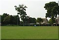
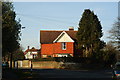
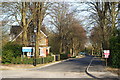
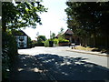
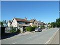
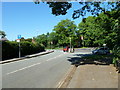
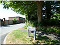
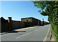
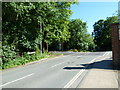
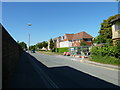
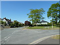
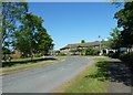
Photos of Chichester North Ward
Area Information
Chichester North Ward occupies a compact 2.6 square kilometres within the city district, creating a densely populated pocket of the wider borough. You will find this area is defined by established residential streets rather than commercial hubs or large open spaces. The ward functions as a mature domestic zone where daily life revolves around proximity to the city centre amenities and local transport links. Its small footprint means distances between homes are short, facilitating quick walks to shops or schools. However, the limited land area means the environment is predominantly urban and built-up, with little scope for expansive private gardens within the ward boundaries. Living here requires adapting to a bustling city microcosm rather than a quiet countryside lane. The area attracts people seeking a central location with easy access to Chichester's market square and historic architecture. You trade the silence of rural living for the convenience of immediate city access. This proximity to the urban core defines the character of the ward, making it suitable for those who prioritise location over space. The compact nature means future development could be constrained, yet the current layout offers a tight-knit sense of community within a very specific geographic footprint.
- Area Type
- District Borough Unitary Ward
- Area Size
- 2.6 km²
- Population
- Not available
- Population Density
- Not available
Demographics
The community in Chichester North Ward reflects a notably older population profile compared to the national average. Data shows the median age stands at 70, indicating a significant proportion of residents are retirees or older adults. Age: Total represents the broadest demographic category in the ward, suggesting a wide spread of older age cohorts rather than families with young children. This age skew influences the local atmosphere, creating an environment where community groups and social clubs linked to leisure time dominate. Sixty-two percent of households comprise owner-occupiers, demonstrating a strong attachment to the local area and long-term stability within the ward. The high ownership rate suggests many residents have lived here for decades, contributing to the settlement's established feel. Household composition data confirms a total mix, yet the median age points toward smaller, single-person or couple-only homes rather than large multi-generational families. There are no specific figures available regarding predominant ethnic groups or religious affiliations in the provided dataset, so the demographic picture relies heavily on the clear age and ownership metrics. These figures paint a portrait of a settled, senior-led community where the pace of life may be quieter and more focused than in younger neighbourhoods.
Household Size
Accommodation Type
Tenure
Ethnic Group
Religion
Household Composition
Age
Household Deprivation
NS-SEC
Explore more demographic insights in this area
Go to Demographics tabPlanning
Planning Constraints
- Flood RiskPremium
- Ramsar Wetland SitesPremium
- Area of Outstanding Natural BeautyPremium
- Protected Nature ReservePremium
- Protected WoodlandPremium
- Crime RiskPremium