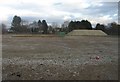
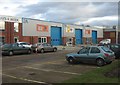
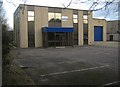
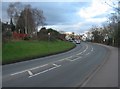
Area Overview for Cherrywood Ward
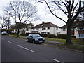
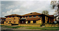
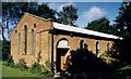
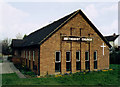
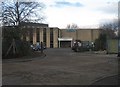
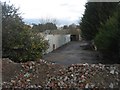
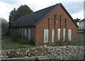
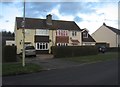
Photos of Cherrywood Ward
Area Information
Cherrywood Ward is a compact district within the borough of Slough, encompassing a total area of 1.6 square kilometres. You will find this ward populated by just over 1,200 residents, resulting in a population density of 799 people per square kilometre. This tight-knit size means daily life moves at a slower pace compared to larger urban centres, yet you remain connected to the wider city. The area functions as a distinct community unit where local services and neighbours are likely within easy reach. Living in Cherrywood Ward involves navigating a specific character defined by these physical constraints and human scale. The ward occupies a significant position within the local authority structure, reflecting its role as a fundamental planning and administrative zone. For someone considering homes in Cherrywood Ward, the limited footprint ensures that developments are monitored closely by local planners. The environment feels defined by its boundaries rather than expansive sprawl. You engage with a neighbourhood where every square metre of the 1.6 km² is accounted for in local services and infrastructure planning. This density creates a sense of presence where residents know the landscape well. The area captures a snapshot of Slough that is both residential and tightly managed.
- Area Type
- District Borough Unitary Ward
- Area Size
- 1.6 km²
- Population
- 1268
- Population Density
- 799 people/km²
Demographics
The community in Cherrywood Ward is distinctly characterised by an older population profile. Survey data indicates a median age of 70 years, suggesting the area serves primarily as a retirement destination. Age demographics show a concentration in the older cohorts rather than families with young children or young professionals. This demographic shift influences the social fabric and local amenities you might encounter. Household composition and accommodation types reflect this reality, with fewer mixed-age dynamics present in the data. Home ownership stands at 49 per cent, meaning roughly half the residents have a mortgage-free property or have purchased their homes outright. This level of ownership is slightly below the national average but indicative of a settled, long-term population. The remaining residents are tenants, contributing to a housing stock that balances private ownership with social or private renting. Predominant ethnic groups, religious affiliations, and specific deprivation levels did not provide detailed breakdowns in the available records. Despite these gaps in specific diversity metrics, the age statistic alone paints a clear picture of who lives here. You are buying into an environment where quiet evenings and settled routines are the norm. The 799 people per square kilometre density supports a stable, non-transient community.
Household Size
Accommodation Type
Tenure
Ethnic Group
Religion
Household Composition
Age
Household Deprivation
NS-SEC
Explore more demographic insights in this area
Go to Demographics tabPlanning
Planning Constraints
- Flood RiskPremium
- Ramsar Wetland SitesPremium
- Area of Outstanding Natural BeautyPremium
- Protected Nature ReservePremium
- Protected WoodlandPremium
- Crime RiskPremium