Area Overview for Chatham Central & Brompton Ward
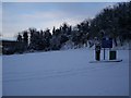
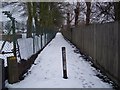
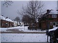
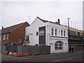
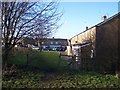
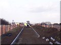
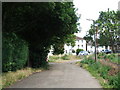
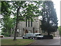
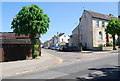
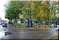
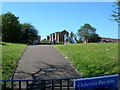
Photos of Chatham Central & Brompton Ward

Area Information
Chatham Central & Brompton Ward is a distinct electoral ward situated within the Medway unitary authority in Kent, South East England. This neighbourhood spans 4.2 square kilometres and currently serves a population of exactly 3,760 residents. The area is defined by specific boundaries, including Magpie Hall Road, Maidstone Road, and Boundary Road, and encompasses the distinct communities of Balfour Junior and All Saints. Living in Chatham Central & Brompton Ward means residing in a compact district south of the A2 road, extending to the junction with Walderslade Road. You are entering an area where living density is high, with 897 people occupying every square kilometre of land. This concentration creates a close-knit environment centred around established local councils and electoral divisions formed for the recent 2023 Medway Council election. The ward's geography places it firmly within the historic town of Chatham, offering direct access to local amenities and schools near the area while maintaining a defined neighbourhood feel. For those considering homes in Chatham Central & Brompton Ward, you are stepping onto a specific, demarcated patch of Kent where local governance and community identity are clearly defined by these physical and political borders.
- Area Type
- District Borough Unitary Ward
- Area Size
- 4.2 km²
- Population
- 3760
- Population Density
- 897 people/km²
Demographics
The community profile for Chatham Central & Brompton Ward is defined by a notably older demographic structure. The median age for the population stands at 70 years, indicating a very mature resident base. While the provided data lists the most common age range as 'Age: Total' without specific breakdowns, the headline figure of 70 suggests a retirement-focused environment. This age profile influences the type of homes in Chatham Central & Brompton Ward, often favouring smaller flats or properties suited for those with fixed incomes. Home ownership levels in this ward sit at 42 per cent, meaning just under half of the households own their residences outright or with a mortgage. The remaining 58 per cent of households likely consist of tenants or shared ownership arrangements, reflecting a mixed but significantly tenanted market. Cultural diversity, religion, and specific ethnic group data are not detailed in the available records, yet the high population density suggests a shared daily life among a large number of neighbours in a relatively small 4.2 km² footprint. For residents, the implications of a median age of 70 include a community accustomed to senior services, quieter streets, and a pace of life focused on leisure and retirement rather than career commuting or young family lifestyles.
Household Size
Accommodation Type
Tenure
Ethnic Group
Religion
Household Composition
Age
Household Deprivation
NS-SEC
Explore more demographic insights in this area
Go to Demographics tabPlanning
Planning Constraints
- Flood RiskPremium
- Ramsar Wetland SitesPremium
- Area of Outstanding Natural BeautyPremium
- Protected Nature ReservePremium
- Protected WoodlandPremium
- Crime RiskPremium