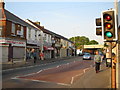
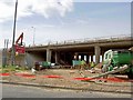
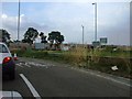
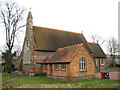
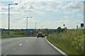
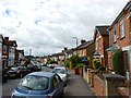
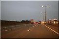
Area Overview for Chalvey Ward
Photos of Chalvey Ward

Area Information
Living in Chalvey Ward offers a distinct experience for those seeking a specific slice of Berkshire life. This district unitary ward covers an area of 80.2 hectares, providing a defined community space within the broader Slough borough. The area functions as a residential pocket where daily routines revolve around a quiet, established environment rather than major commercial hubs. Prospective buyers focusing on homes in Chalvey Ward should understand that they are entering a mature setting characterised by a defined population and scale. The physical footprint of the ward is compact, which often means less urban sprawl but potentially denser local services nearby. Your daily commute and leisure activities will depend on connections beyond these 80.2 hectares, yet the ward itself provides a clear administrative and geographic unit for your address. For someone prioritising known boundaries and a specific ward identity, Chalvey Ward delivers on these fronts. The area size suggests a neighbourhood capable of supporting a tight-knit community without the overwhelming scale of larger metropolitan districts. You will find that living here is about balancing the compactness of the ward with the access to wider regional amenities.
- Area Type
- District Borough Unitary Ward
- Area Size
- 80.2 hectares
- Population
- Not available
- Population Density
- Not available
Demographics
The community profile of Chalvey Ward is heavily weighted towards an older resident population. The median age is recorded at 70 years, which defines the character of the neighbourhood and influences local demand. This demographic reality means the housing stock and local facilities cater significantly to retirees. A total breakdown of age ranges confirms that the area's population skew is consistent across the board. Home ownership stands at 39 per cent, indicating that roughly four in ten residents own their property outright or with a mortgage. The remaining 61 per cent reside in rented accommodation, suggesting a mixed market where investment or long-term tenancy rates are notable. Household composition reflects a total population count that aligns with these ownership figures, implying a steady stream of renters alongside the substantial owner-occupier base. While specific data on predominant ethnic groups and religious affiliations is not detailed in the current report, the age structure remains the primary demographic driver. Living in Chalvey Ward means navigating a community shaped by these older age profiles and the resulting social dynamics that accompany a retired population.
Household Size
Accommodation Type
Tenure
Ethnic Group
Religion
Household Composition
Age
Household Deprivation
NS-SEC
Explore more demographic insights in this area
Go to Demographics tabPlanning
Planning Constraints
- Flood RiskPremium
- Ramsar Wetland SitesPremium
- Area of Outstanding Natural BeautyPremium
- Protected Nature ReservePremium
- Protected WoodlandPremium
- Crime RiskPremium