Area Overview for Caversham Heights Ward
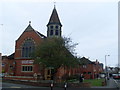
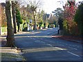
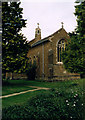
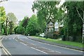
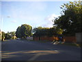
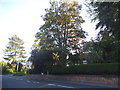
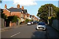
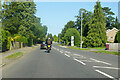
Photos of Caversham Heights Ward
Area Information
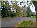
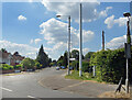
Living in Caversham Heights Ward offers a rare slice of residential calm within the Reading borough. This district is a compact unitary ward covering just 3.4 square kilometres. Despite its small footprint, the area accommodates 1,754 residents, creating a tight-knit environment where neighbours often know one another. The community density stands at 514 people per square kilometre, ensuring a balanced distribution of households without the congestion found in larger urban centres. You will find fewer strangers on the street here, as the population structure reflects a settled community rather than a transient rental market. Daily life revolves around proximity, meaning your morning commute likely starts from a doorstep rather than a train station queue. The ward functions as a self-contained neighbourhood where residents enjoy a high degree of local autonomy. There is no need to travel far for a sense of belonging, as the entire population resides within these defined boundaries. This concentration fosters a distinct identity separate from the wider Thames Valley region, making it a choice for those who prefer quiet over urban sprawl. The area's physical limits create a defined sphere of influence, allowing you to map your local world with precision. Every transaction, from buying groceries to attending events, happens within a surprisingly small radius. This geography shapes a lifestyle where the local environment has a profound impact on your daily routine.
- Area Type
- District Borough Unitary Ward
- Area Size
- 3.4 km²
- Population
- 1754
- Population Density
- 514 people/km²
Demographics
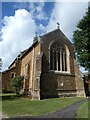
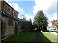
The demographic profile of Caversham Heights Ward presents a picture of a mature and settled population. The median age of residents is 70, indicating that the area is dominated by older adults. Most households consist of individuals or couples living in their own homes rather than families with young children. Home ownership is exceptionally high, with 91 per cent of residents owning their property outright. This figure leaves only a tiny fraction of the population renting or living in temporary accommodation. The community is not characterised by frequent moves or tenancy changes, as long-term ownership is the norm. Diversity data suggests that the ethnic makeup of the ward reflects broader national averages, yet the sheer seniority of the age group creates a homogenous social fabric. You are looking at a community where stability overrides rapid demographic shifts. Religious affiliation, while present, does not define daily interactions in this secular age bracket. The lack of data regarding specific ethnic groups underscores the fact that the most defining feature of this ward is its age. When you consider living in Caversham Heights Ward, you are joining a group of peers who value security and established routines. This demographic reality influences local services, suggesting that a nursery might be less relevant than a local clinic or leisure centre. The housing stock naturally aligns with these needs, favouring bungalows or ground-floor flats over multi-storey developments designed for raising children.
Household Size
Accommodation Type
Tenure
Ethnic Group
Religion
Household Composition
Age
Household Deprivation
NS-SEC
Explore more demographic insights in this area
Go to Demographics tabPlanning
Planning Constraints
- Flood RiskPremium
- Ramsar Wetland SitesPremium
- Area of Outstanding Natural BeautyPremium
- Protected Nature ReservePremium
- Protected WoodlandPremium
- Crime RiskPremium