Area Overview for Cade Street
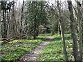
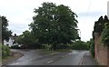
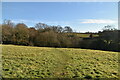
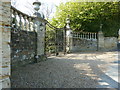
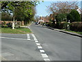
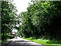
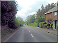
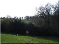
Photos of Cade Street


Area Information
Cade Street is a compact built-up area spanning 37.6 hectares, nestled in England. Its character is defined by a mature population, with a median age of 70, suggesting a community of long-term residents. This area is not sprawling but tightly knit, offering a sense of familiarity and continuity. Daily life here is shaped by proximity to essential services: a railway station, multiple supermarkets, and a primary school. The presence of Heathfield Community College, rated good by Ofsted, ensures families have access to quality education. While the area is small, it balances practicality with accessibility. Residents can reach Stonegate Railway Station for regional travel, while nearby retail hubs like Waitrose Heathfield, Sainsburys Heathfield, and Tesco Heathfield cater to everyday needs. Cade Street’s appeal lies in its simplicity—a place where convenience meets a slower pace of life, ideal for those prioritising stability and ease of access to local amenities.
- Area Type
- Built Up Area 250
- Area Size
- 37.6 hectares
- Population
- Not available
- Population Density
- Not available
Cade Street’s lifestyle is centred around practicality, with nearby amenities within easy reach. Residents can access three major supermarkets—Waitrose Heathfield, Sainsburys Heathfield, and Tesco Heathfield—ensuring a variety of shopping options. The Stonegate Railway Station provides regional travel links, while the area’s compact size means local errands are efficient. Though the data does not mention parks or leisure facilities, the presence of multiple retail outlets suggests a focus on everyday convenience. The community’s character is defined by its simplicity, offering a straightforward, low-maintenance lifestyle for those who value accessibility and stability over expansive recreational options.
Amenities
Schools
The nearest school to Cade Street is Heathfield Community College, a primary school with a good Ofsted rating. This provides families with a reliable educational option for younger children. The absence of secondary schools in the immediate vicinity means parents may need to consider commuting for higher education, but the primary school’s quality is a strong local asset. The single school listed suggests a focus on foundational education, which could be advantageous for families prioritising early learning. While the data does not include other schools, the presence of a well-rated primary institution is a key factor for prospective buyers with children.
| Rank | A + A* % | School | Type | Entry gender | Ages |
|---|---|---|---|---|---|
| 1 | N/A | Heathfield Community College | primary | N/A | N/A |
Explore more schools in this area
Go to Schools tabDemographics
The population of Cade Street is predominantly older, with a median age of 70. This suggests a community where many residents have lived for decades, contributing to a sense of continuity. Home ownership is high, with 86% of households owning their properties, indicating a stable, long-term demographic. The data does not specify household composition or accommodation types, but the high ownership rate implies fewer rental properties and a focus on permanent residency. The area’s demographic profile is not detailed further, but the absence of specific diversity metrics means the community’s composition remains broadly undefined. For those considering Cade Street, the high home ownership and mature age profile suggest a quiet, settled environment, though it may lack the dynamism of younger, more transient populations.
Household Size
Accommodation Type
Tenure
Ethnic Group
Religion
Household Composition
Age
Household Deprivation
NS-SEC
Explore more demographic insights in this area
Go to Demographics tabPlanning
Planning Constraints
- Crime RiskLocked