Area Overview for Burpham
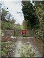
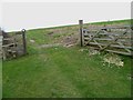
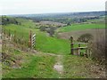
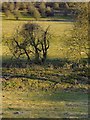
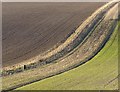
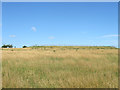
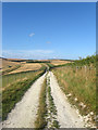
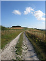
Photos of Burpham
Area Information
Burpham sits as a defined district covering 12.5 km² within England. You will find a community characterised by established neighbourhoods rather than new developments, reflecting a long history of local settlement. Daily life here involves navigating a specific balance between residential quiet and the inherent realities of its location. The area functions as a self-contained ward where residents manage their daily routines within a relatively compact footprint. The landscape supports a mix of housing types while maintaining distinct local boundaries. You should be aware that the physical size of the area influences how easily you can access local amenities without travelling further afield. The demographic profile suggests a community where residents have strong ties to their homes. This density allows for a sense of established routine where neighbours often know one another. However, the specific make-up of these households directly impacts the vibrancy and pace of your daily interactions. When considering living in Burpham, you must weigh these structural facts against your personal requirements. The area offers a tangible setting where the built environment interacts closely with the local population. Your experience of the neighbourhood will depend largely on how you engage with its existing fabric. The 12.5 km² span provides enough space for distinct zones while remaining connected enough for easy movement. Understanding this physical reality helps you envision your future days within these boundaries.
- Area Type
- District Borough Unitary Ward
- Area Size
- 12.5 km²
- Population
- Not available
- Population Density
- Not available
Demographics
The community in Burpham presents a clear demographic profile with a median age of 70 years old. This statistic indicates a population skewed significantly towards older residents, which shapes the entire social fabric of the ward. You will find that the age range distribution centres on this higher figure, suggesting a retirement community or a location popular with older couples. This is not a youthful area, so services and activities will reflect the needs of an established demographic. Home ownership stands at 66% across the district borough unitary ward. This high percentage confirms that the majority of households own their properties outright. The remaining residents live in rental accommodations, but the scale of ownership dictates the financial landscape. You are unlikely to encounter a transient, short-term rental market dominating the streets. Instead, the social cohesion stems from a stable base of property owners who have put down roots. The majority age range categorisation is listed as total, which simply describes the broad spread without narrowing down specific young or old brackets. Household composition totals indicate a standard mix, though the age data implies large families are less common. Diversity metrics for ethnicity, religion, and accommodation types total the available population segments. This data points to a relatively homogeneous community in terms of age, where life revolves around the specific needs and preferences of older adults living in their owned homes.
Household Size
Accommodation Type
Tenure
Ethnic Group
Religion
Household Composition
Age
Household Deprivation
NS-SEC
Explore more demographic insights in this area
Go to Demographics tabPlanning
Planning Constraints
- Flood RiskPremium
- Ramsar Wetland SitesPremium
- Area of Outstanding Natural BeautyPremium
- Protected Nature ReservePremium
- Protected WoodlandPremium
- Crime RiskPremium