Area Overview for Brightwalton
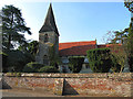
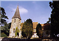
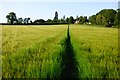
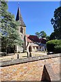
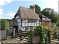
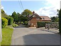
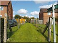
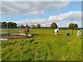
Photos of Brightwalton
Area Information
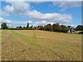
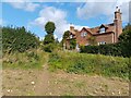
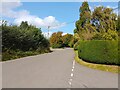
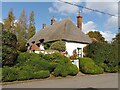
Living in Brightwalton means residing within a civil parish that covers an area of 8.5 km². This location offers a specific type of community life shaped by its size and history. The parish provides a clear, bounded environment where residents know their surroundings. You will find a setting that balances quiet rural living with accessible services. The character of the area is defined by its designated protected statuses rather than rapid modernisation. This ensures the built environment remains stable and consistent. Prospective buyers looking for a defined neighbourhood will appreciate the clear boundaries of this parish. The land size supports a compact yet distinct village feel. You do not navigate through sprawling suburbs here. Instead, you move through a space where the scale of the land matches the scale of the population. This creates a manageable distance between homes and essential amenities. The 8.5 km² footprint dictates a slower pace of life compared to larger urban developments. It is a place where the community structure relies on proximity rather than density. When you consider homes in Brightwalton, you are choosing a specific slice of English countryside life. The area maintains a strong sense of place without the overcrowding found in larger settlements. Your daily routine revolves around a landscape that demands a little more journeying but rewards it with space. The civil parish status ensures local governance remains focused on these specific boundaries. This focus helps maintain the unique identity of Brightwalton against broader regional changes.
- Area Type
- Parish
- Area Size
- 8.5 km²
- Population
- Not available
- Population Density
- Not available
Demographics
Household Size
Accommodation Type
Tenure
Ethnic Group
Religion
Household Composition
Age
Household Deprivation
NS-SEC
Explore more demographic insights in this area
Go to Demographics tabPlanning
Planning Constraints
- Flood RiskPremium
- Ramsar Wetland SitesPremium
- Area of Outstanding Natural BeautyPremium
- Protected Nature ReservePremium
- Protected WoodlandPremium
- Crime RiskPremium