Area Overview for Brighton and Hove
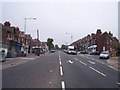
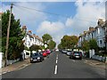
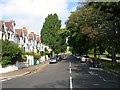
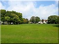
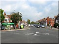
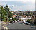
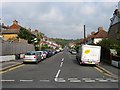
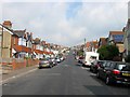
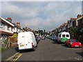
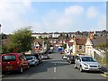
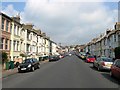
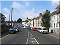
Photos of Brighton and Hove
Area Information
Living in Brighton and Hove means inhabiting a built-up area that captures the character of a traditional town while embracing coastal urban life. This locality covers 41.7 square kilometres and hosts a population of 156,433 residents. The density here reaches 3,751 people per square kilometre, creating a compact environment where services and neighbours are close at hand. You are one of many living in a settlement designed for accessibility rather than sprawl. Daily life revolves around proximity; most essentials are within walking distance or a short drive. The area functions as a unified whole, blending historic architecture with modern living needs. You do not need to travel far to engage with the community. The compact nature of Brighton and Hove ensures that you can navigate your surroundings efficiently. This density supports a public life where shops, stations, and local hubs operate in constant contact with their neighbourhoods. When you consider homes in Brighton and Hove, you are entering a space defined by its manageable size and high population concentration. The area offers a immediate sense of place where urban convenience meets residential comfort.
- Area Type
- District/Borough
- Area Size
- 41.7 km²
- Population
- 156433
- Population Density
- 3751 people/km²
Demographics
The community profile of Brighton and Hove reveals a distinct age demographic with a median age of 70. This figure indicates that the population skews significantly towards older residents, shaping the local culture and service requirements. Most households operate under this age profile, influencing everything from leisure activities to retail choices. The home ownership rate stands at 53%, meaning slightly more than half of those living in Brighton and Hove own their homes outright or with a mortgage. The remaining 47% are renters, creating a balanced but noticeable split in the housing landscape. You will find that household composition reflects an established settlement pattern where stability often takes priority. The distribution of people across this area suggests a quarter-life dominated by retirement living or retirement-age occupancy. When you evaluate the social fabric of Brighton and Hove, the age data shows a mature community. This demographic reality often colours the pace of life and the types of establishments that thrive locally. Families may find fewer resources compared to areas with younger populations, while the large number of owners suggests strong neighbourhood investment in local maintenance.
Household Size
Accommodation Type
Tenure
Ethnic Group
Religion
Household Composition
Age
Household Deprivation
NS-SEC
Explore more demographic insights in this area
Go to Demographics tabPlanning
Planning Constraints
- Crime RiskPremium