Area Overview for Bredgar
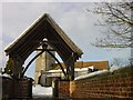
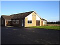
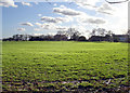
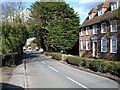
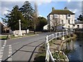
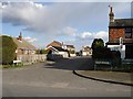
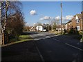
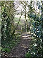
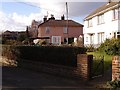
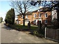
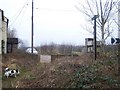
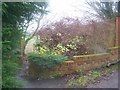
Photos of Bredgar
Area Information
Living in Bredgar offers a compact, well-defined community within 29.2 hectares of built-up area. The area’s character is shaped by its older population, with a median age of 70, suggesting a demographic skewed towards retirees and long-term residents. Home ownership is high at 83%, indicating a stable, settled community. Daily life is likely centred around local amenities, with nearby rail stations and retail options within practical reach. Bredgar’s proximity to Sittingbourne and surrounding towns adds to its accessibility, while its modest size means a close-knit environment. The presence of a primary school, Bredgar Church of England Primary School, underscores the area’s focus on family living. For those seeking a quieter, less congested setting, Bredgar’s low crime risk and practical transport links make it a viable option for those prioritising safety and convenience.
- Area Type
- Built Up Area 250
- Area Size
- 29.2 hectares
- Population
- Not available
- Population Density
- Not available
Bredgar’s lifestyle is supported by nearby amenities, including five retail outlets such as Co-op Sittingbourne, Budgens MRH, and Tesco Milton, offering essential shopping options. The rail stations provide access to broader leisure and employment opportunities. While the data does not detail parks or recreational spaces, the area’s compact size likely means residents can reach local green spaces or community hubs easily. The presence of a primary school and retail options suggests a practical, family-friendly environment, though further investigation would be needed to confirm the full range of leisure and cultural facilities.
Amenities
Schools
Bredgar Church of England Primary School is the only school listed in the data, serving the local community with primary education. While the Ofsted rating is not provided, the presence of a primary school indicates that the area caters to younger families. The lack of secondary schools or additional educational institutions in the data means families may need to look beyond Bredgar for secondary education. This suggests that the area is more suited to those with children in primary school or for whom proximity to a primary school is a priority.
| Rank | A + A* % | School | Type | Entry gender | Ages |
|---|---|---|---|---|---|
| 1 | N/A | Bredgar Church of England Primary School | primary | N/A | N/A |
| 2 | N/A | Bredgar Church of England Primary School | primary | N/A | N/A |
Explore more schools in this area
Go to Schools tabDemographics
Bredgar’s population is predominantly older, with a median age of 70, reflecting a community where retirees or long-term residents form the majority. The data shows 83% of households are owner-occupied, suggesting a strong sense of permanence. Household composition and accommodation types are not specified, but the overall home ownership rate indicates a stable market. The predominant ethnic group and religious affiliation are not detailed in the data, but the area’s demographics are likely homogenous given the lack of diversity metrics. This demographic profile may influence local services and amenities, with a focus on age-appropriate infrastructure and community support.
Household Size
Accommodation Type
Tenure
Ethnic Group
Religion
Household Composition
Age
Household Deprivation
NS-SEC
Explore more demographic insights in this area
Go to Demographics tabPlanning
Planning Constraints
- Crime RiskLocked