Area Overview for BR8 8LN
Photos of BR8 8LN
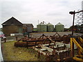
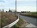
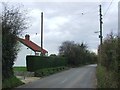
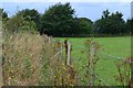
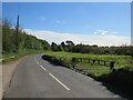
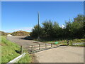

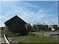
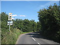
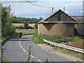
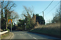
21 photos from this area
Area Information
Key information about the BR8 8LN including its size, population, and administrative classification.
- Area Type
- Postcode
- Area Size
- 8.5 hectares
- Population
- 1990
- Population Density
- 198 people/km²
House Prices in BR8 8LN
27
Properties
£270,212
Average Sold Price
£110,000
Lowest Price
£458,000
Highest Price
Showing 27 properties
| Address | Type | Beds | Baths | Last Sale Price | Last Sale Date | |
|---|---|---|---|---|---|---|
| Braecot, Cray Road, Crockenhill, BR8 8LN | Bungalow | 3 | 2 | £458,000 | Nov 2025 | |
| Pear Tree Cottage, 27 Cray Road, Crockenhill, BR8 8LN | house | - | - | £359,250 | Jul 2025 | |
| 33 Cray Road, Crockenhill, BR8 8LN | Terraced | 2 | 1 | £325,000 | Sep 2021 | |
| 34 Cray Road, Crockenhill, BR8 8LN | house | 2 | - | £330,000 | Feb 2021 | |
| 25 Cray Road, Crockenhill, BR8 8LN | Terraced | 2 | 1 | £307,000 | Jan 2019 | |
| 22 Cray Road, Crockenhill, BR8 8LN | Semi-detached | 3 | 2 | £370,000 | Mar 2017 | |
| 30 Cray Road, Crockenhill, BR8 8LN | Terraced | 3 | 1 | £293,000 | Mar 2014 | |
| 31 Cray Road, Crockenhill, BR8 8LN | Terraced | - | - | £182,500 | Jun 2005 | |
| Newlyn, Cray Road, Crockenhill, BR8 8LN | Retail | 3 | 1 | £260,000 | Dec 2004 | |
| 24 Cray Road, Crockenhill, BR8 8LN | house | - | - | £158,000 | Oct 2004 |
Page 1 of 3
Energy Efficiency in BR8 8LN
Amenities
Schools
| Rank | School | Type | Entry gender | Ages |
|---|
Explore more schools in this area
Go to Schools tabDemographics
Household Size
Two person
most common
Accommodation Type
Houses
most common
Tenure
74
majority
Ethnic Group
White
most common
Religion
N/A
most common
Household Composition
N/A
most common
Age
47
median
Adults (30-64 years)
most common
Household Deprivation
N/A
with no deprivation
NS-SEC
35
in Lower managerial occupations
Explore more demographic insights in this area
Go to Demographics tabPlanning
Planning Constraints
- Flood RiskPremium
- Ramsar Wetland SitesPremium
- Area of Outstanding Natural BeautyPremium
- Protected Nature ReservePremium
- Protected WoodlandPremium