Area Overview for BR8 7SL
Photos of BR8 7SL
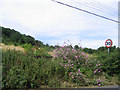
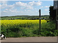
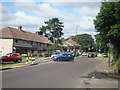
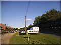
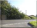
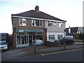
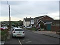
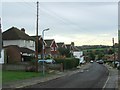
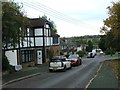
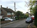
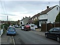
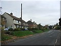
23 photos from this area
Area Information
Key information about the BR8 7SL including its size, population, and administrative classification.
- Area Type
- Postcode
- Area Size
- 1.2 hectares
- Population
- Not available
- Population Density
- Not available
House Prices in BR8 7SL
30
Properties
£318,567
Average Sold Price
£76,500
Lowest Price
£495,000
Highest Price
Showing 30 properties
| Address | Type | Beds | Baths | Last Sale Price | Last Sale Date | |
|---|---|---|---|---|---|---|
| 35 Nuffield Road, Hextable, BR8 7SL | Terraced | 3 | 1 | £375,000 | Jan 2025 | |
| 4 Nuffield Road, Hextable, BR8 7SL | Semi-detached | 3 | - | £415,000 | Mar 2021 | |
| 8A Nuffield Road, Hextable, BR8 7SL | house | 3 | 1 | £455,000 | Dec 2020 | |
| 13 Nuffield Road, Hextable, BR8 7SL | Semi-detached | 3 | 1 | £495,000 | Oct 2020 | |
| 3 Nuffield Road, Hextable, BR8 7SL | Semi-detached | 4 | 2 | £427,000 | Mar 2020 | |
| 11 Nuffield Road, Hextable, BR8 7SL | Semi-detached | 4 | 2 | £420,000 | Jun 2019 | |
| 24 Nuffield Road, Hextable, BR8 7SL | Bungalow | 3 | 1 | £355,000 | Jan 2018 | |
| 9 Nuffield Road, Hextable, BR8 7SL | house | - | - | £373,000 | Nov 2016 | |
| 7 Nuffield Road, Hextable, BR8 7SL | house | - | - | £475,000 | May 2016 | |
| 6 Nuffield Road, Hextable, BR8 7SL | Semi-detached | - | - | £250,000 | Oct 2007 |
Page 1 of 3
Energy Efficiency in BR8 7SL
Amenities
Schools
| Rank | School | Type | Entry gender | Ages |
|---|
Explore more schools in this area
Go to Schools tabDemographics
Household Size
Family (3-5 people)
most common
Accommodation Type
Houses
most common
Tenure
77
majority
Ethnic Group
White
most common
Religion
N/A
most common
Household Composition
N/A
most common
Age
47
median
Adults (30-64 years)
most common
Household Deprivation
N/A
with no deprivation
NS-SEC
32
in Lower managerial occupations
Explore more demographic insights in this area
Go to Demographics tabPlanning
Planning Constraints
- Flood RiskPremium
- Ramsar Wetland SitesPremium
- Area of Outstanding Natural BeautyPremium
- Protected Nature ReservePremium
- Protected WoodlandPremium