Area Overview for BR8 7QT
Photos of BR8 7QT
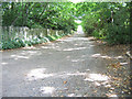
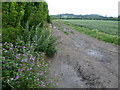
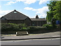
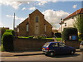
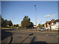
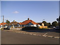
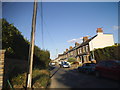
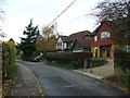
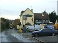
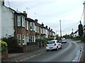
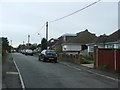
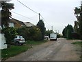
51 photos from this area
Area Information
Key information about the BR8 7QT including its size, population, and administrative classification.
- Area Type
- Postcode
- Area Size
- 7.1 hectares
- Population
- 1350
- Population Density
- 2191 people/km²
House Prices in BR8 7QT
46
Properties
£262,578
Average Sold Price
£50,000
Lowest Price
£515,000
Highest Price
Showing 46 properties
| Address | Type | Beds | Baths | Last Sale Price | Last Sale Date | |
|---|---|---|---|---|---|---|
| 78 Claremont Road, Hextable, BR8 7QT | Semi-detached | 4 | 2 | £460,000 | Apr 2025 | |
| 146 Claremont Road, Hextable, BR8 7QT | Terraced | 2 | 1 | £355,000 | Apr 2023 | |
| 140 Claremont Road, Hextable, BR8 7QT | Terraced | 2 | 1 | £353,000 | Jan 2023 | |
| 84 Claremont Road, Hextable, BR8 7QT | Detached | 5 | 1 | £515,000 | Apr 2022 | |
| 88 Claremont Road, Hextable, BR8 7QT | Retail | 3 | 1 | £421,995 | Apr 2022 | |
| 104 Claremont Road, Hextable, BR8 7QT | house | - | - | £315,000 | Feb 2021 | |
| 124 Claremont Road, Hextable, BR8 7QT | Terraced | 2 | 1 | £280,000 | Jan 2021 | |
| 150 Claremont Road, Hextable, BR8 7QT | Semi-detached | - | - | £320,000 | Nov 2019 | |
| 100 Claremont Road, Hextable, BR8 7QT | house | 2 | 1 | £330,000 | Nov 2019 | |
| 152 Claremont Road, Hextable, BR8 7QT | Semi-detached | 2 | 1 | £300,000 | Dec 2017 |
Page 1 of 5
Energy Efficiency in BR8 7QT
Amenities
Schools
| Rank | School | Type | Entry gender | Ages |
|---|
Explore more schools in this area
Go to Schools tabDemographics
Household Size
Family (3-5 people)
most common
Accommodation Type
Houses
most common
Tenure
91
majority
Ethnic Group
White
most common
Religion
N/A
most common
Household Composition
N/A
most common
Age
47
median
Adults (30-64 years)
most common
Household Deprivation
N/A
with no deprivation
NS-SEC
39
in Lower managerial occupations
Explore more demographic insights in this area
Go to Demographics tabPlanning
Planning Constraints
- Flood RiskPremium
- Ramsar Wetland SitesPremium
- Area of Outstanding Natural BeautyPremium
- Protected Nature ReservePremium
- Protected WoodlandPremium