Area Overview for BR8 7BU
Photos of BR8 7BU
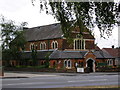
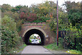
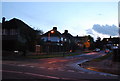
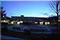
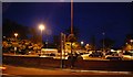
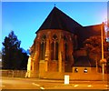
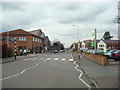
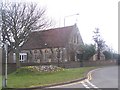
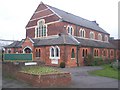
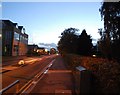
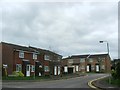
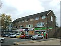
85 photos from this area
Area Information
Key information about the BR8 7BU including its size, population, and administrative classification.
- Area Type
- Postcode
- Area Size
- 9.0 hectares
- Population
- Not available
- Population Density
- Not available
House Prices in BR8 7BU
55
Properties
£214,940
Average Sold Price
£117,000
Lowest Price
£430,000
Highest Price
Showing 55 properties
| Address | Type | Beds | Baths | Last Sale Price | Last Sale Date | |
|---|---|---|---|---|---|---|
| 18 St Marys Road, Swanley, BR8 7BU | Semi-detached | 3 | 2 | £385,000 | Jul 2025 | |
| 14 St Marys Road, Swanley, BR8 7BU | Semi-detached | 3 | 1 | £430,000 | Oct 2024 | |
| 1B St Marys Road, Swanley, BR8 7BU | house | - | - | £365,000 | Jun 2023 | |
| 1A St Marys Road, Swanley, BR8 7BU | house | - | - | £363,500 | Jun 2023 | |
| 36 St Marys Road, Swanley, BR8 7BU | Semi-detached | 3 | - | £285,000 | Feb 2016 | |
| 9 St Marys Road, Swanley, BR8 7BU | Flat | - | - | £178,000 | Oct 2015 | |
| 17 St Marys Road, Swanley, BR8 7BU | Flat | - | - | £170,000 | Nov 2014 | |
| 16 St Marys Road, Swanley, BR8 7BU | Flat | - | - | £205,000 | Jul 2014 | |
| 54 St Marys Road, Swanley, BR8 7BU | Semi-detached | 3 | - | £205,000 | Mar 2014 | |
| 8 St Marys Road, Swanley, BR8 7BU | Terraced | - | - | £157,000 | Oct 2013 |
Page 1 of 6
Energy Efficiency in BR8 7BU
Amenities
Schools
| Rank | School | Type | Entry gender | Ages |
|---|
Explore more schools in this area
Go to Schools tabDemographics
Household Size
Family (3-5 people)
most common
Accommodation Type
Houses
most common
Tenure
39
majority
Ethnic Group
White
most common
Religion
N/A
most common
Household Composition
N/A
most common
Age
47
median
Adults (30-64 years)
most common
Household Deprivation
N/A
with no deprivation
NS-SEC
23
in Lower managerial occupations
Explore more demographic insights in this area
Go to Demographics tabPlanning
Planning Constraints
- Flood RiskPremium
- Ramsar Wetland SitesPremium
- Area of Outstanding Natural BeautyPremium
- Protected Nature ReservePremium
- Protected WoodlandPremium