Area Overview for BN9 9GE
Photos of BN9 9GE


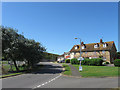
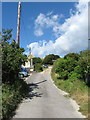
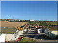
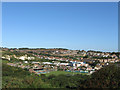
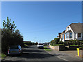
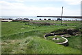
100 photos from this area
Area Information
Key information about the BN9 9GE including its size, population, and administrative classification.
- Area Type
- Postcode
- Area Size
- 3427 m²
- Population
- 1681
- Population Density
- 8144 people/km²
House Prices in BN9 9GE
20
Properties
£243,046
Average Sold Price
£114,737
Lowest Price
£485,000
Highest Price
Showing 20 properties
| Address | Type | Beds | Baths | Last Sale Price | Last Sale Date | |
|---|---|---|---|---|---|---|
| Flat 7, Versailles, West Quay, Newhaven, BN9 9GE | Flat | - | - | £275,000 | Jul 2024 | |
| Flat 12, Versailles, West Quay, Newhaven, BN9 9GE | Flat | - | - | £315,000 | Aug 2023 | |
| Flat 1, Versailles, West Quay, Newhaven, BN9 9GE | Flat | - | - | £185,000 | Oct 2020 | |
| Flat 18, Versailles, West Quay, Newhaven, BN9 9GE | Flat | - | - | £270,000 | Nov 2019 | |
| Flat 6, Versailles, West Quay, Newhaven, BN9 9GE | Flat | - | - | £225,000 | Nov 2019 | |
| Flat 9, Versailles, West Quay, Newhaven, BN9 9GE | Flat | - | - | £114,737 | Feb 2015 | |
| Flat 5, Versailles, West Quay, Newhaven, BN9 9GE | Flat | - | - | £160,000 | May 2013 | |
| Flat 16, Versailles, West Quay, Newhaven, BN9 9GE | Flat | - | - | £150,000 | Mar 2008 | |
| Flat 10, Versailles, West Quay, Newhaven, BN9 9GE | Flat | - | - | £150,000 | Mar 2008 | |
| Flat 8, Versailles, West Quay, Newhaven, BN9 9GE | Flat | - | - | £150,000 | Mar 2008 |
Page 1 of 2
Energy Efficiency in BN9 9GE
Amenities
Schools
| Rank | School | Type | Entry gender | Ages |
|---|
Explore more schools in this area
Go to Schools tabDemographics
Household Size
Two person
most common
Accommodation Type
Houses
most common
Tenure
52
majority
Ethnic Group
White
most common
Religion
N/A
most common
Household Composition
N/A
most common
Age
47
median
Adults (30-64 years)
most common
Household Deprivation
N/A
with no deprivation
NS-SEC
28
in Lower managerial occupations
Explore more demographic insights in this area
Go to Demographics tabPlanning
Planning Constraints
- Flood RiskPremium
- Ramsar Wetland SitesPremium
- Area of Outstanding Natural BeautyPremium
- Protected Nature ReservePremium
- Protected WoodlandPremium