Area Overview for BN8 6AX
Photos of BN8 6AX
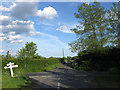
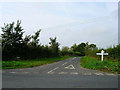
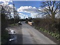
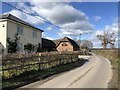
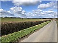
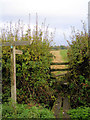
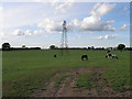
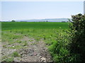
41 photos from this area
Area Information
Key information about the BN8 6AX including its size, population, and administrative classification.
- Area Type
- Postcode
- Area Size
- 18.1 hectares
- Population
- 1120
- Population Density
- 63 people/km²
House Prices in BN8 6AX
10
Properties
£545,560
Average Sold Price
£164,000
Lowest Price
£862,500
Highest Price
Showing 10 properties
| Address | Type | Beds | Baths | Last Sale Price | Last Sale Date | |
|---|---|---|---|---|---|---|
| Ashfield, Mill Lane, Ripe, BN8 6AX | house | - | - | £740,000 | Feb 2021 | |
| Roseneath Farm, Mill Lane, Ripe, BN8 6AX | Bungalow | 3 | 1 | £862,500 | Nov 2020 | |
| Greensands, Mill Lane, Ripe, BN8 6AX | Detached | 4 | - | £720,000 | Aug 2016 | |
| Ivy Cottage, Mill Lane, Ripe, BN8 6AX | house | - | - | £164,000 | Apr 2013 | |
| Forge House, Mill Lane, Ripe, BN8 6AX | Detached | - | - | £241,300 | Mar 1998 | |
| Mill Farm, Mill Lane, Ripe, BN8 6AX | Detached | 5 | 2 | - | - | |
| The Annexe, Rivendell House, Mill Lane, Ripe, BN8 6AX | house | - | - | - | - | |
| Meadow Cottage, Mill Lane, Ripe, BN8 6AX | Semi-detached | - | - | - | - | |
| Mill Farm Cottage, Mill Lane, Ripe, BN8 6AX | house | - | - | - | - | |
| Rivendell House, Mill Lane, Ripe, BN8 6AX | house | - | - | - | - |
Energy Efficiency in BN8 6AX
Amenities
Schools
| Rank | School | Type | Entry gender | Ages |
|---|
Explore more schools in this area
Go to Schools tabDemographics
Household Size
Two person
most common
Accommodation Type
Houses
most common
Tenure
90
majority
Ethnic Group
White
most common
Religion
N/A
most common
Household Composition
N/A
most common
Age
70
median
Elderly (65+ years)
most common
Household Deprivation
N/A
with no deprivation
NS-SEC
37
in Lower managerial occupations
Explore more demographic insights in this area
Go to Demographics tabPlanning
Planning Constraints
- Flood RiskPremium
- Ramsar Wetland SitesPremium
- Area of Outstanding Natural BeautyPremium
- Protected Nature ReservePremium
- Protected WoodlandPremium